
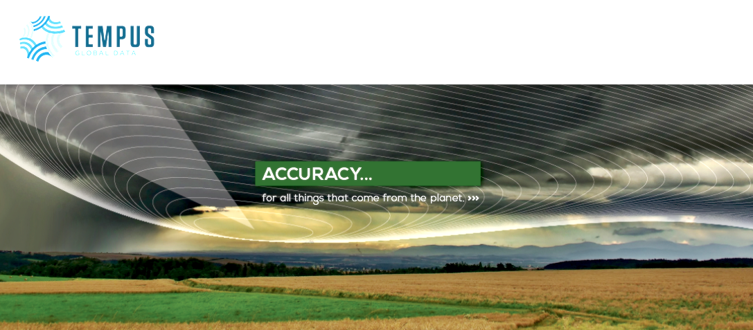
[SatNews] We can’t change weather and natural disasters but ...we can help people get out of the way.
Tempus Global Data has combined weather observation in space with a big data approach to prognostication that dramatically changes everything we know about severe weather. It is highly complex data algorithms that become precise, accurate looks at weather, well in advance of any other approach.
Tempus Global Data designs, manufactures and operates environmental and weather monitoring instruments, known as STORM™ (Sounding and Tracking Observatory for Regional Meteorology) on a global scale.
The heart of the technology is hyperspectral sounding from geostationary orbit. Think of it as a CAT scan of the atmosphere. From our sensors we gather the most sophisticated weather data ever produced and sell it to sovereign governments and commercial entities. Each customer can purchase data from a highly attractive, unparalleled suite of data products that enable confidence in risk mitigation decisions and heighten meteorological intelligence.
There is a huge gap in weather technology, currently. In the U.S. alone, the technology is 30 years old and there are no significant new tools in the pipeline to fix it. Recently, Dr. Kathryn Sullivan, Under Secretary of Commerce for Oceans and Atmosphere and NOAA Administrator, told Congress that atmospheric sounding is “the essential lifeblood of weather forecasting”. Hyperspectral Sounding is the future. The key: persistent data, more accurate data.
Research suggests there are some $90 billion in savings that our approach to weather data could help create. NOAA estimates that the value of weather information to the U.S. economy is $31.5 billion.
There is a wide range of new satellites, sensors and instrumentation going into space, some using various forms of radar, thermography and hyper spectral sounding. All of them are, typically, in Low Earth Orbit and continue to focus on seeing weather (water molecules as clouds) and reacting to weather. Our advanced approach of thermo imaging of water vapor, seen from geostationary orbit, is a massive shift that transforms all aspects of weather and the way it impacts our lives on earth.
The three-dimensional data is precise, clear and persistent with the final goal is to fly a constellation of six sensors that will cover the entire globe.
Weather is getting worse. Period. Scientists will debate the reasons for the changes but global economic losses caused by extreme weather events have risen to nearly $200 billion a year over the last decade and look set to increase further as climate change worsens.
More population in high-risk areas means greater exposure to severe events. Stated simply, the planet is becoming a riskier place to live. The Tempus Global data approach to weather prognostication will help us know when a tornado is forming even without clouds in the sky; and we can know, with certainty when and where a hurricane will make land, reducing the cone of uncertainty and evacuating shore lines with greater efficiency.
We watch the effects of this increase in severe weather on the evening news more and more frequently. Haiyan. Sandy. Katrina. Moore, Oklahoma. We sit in frustration and anger as tens of thousands of lives are lost and dramatically impacted. We can’t change weather and natural disasters but we can change the way we see them coming. We can help people get out of the way.