
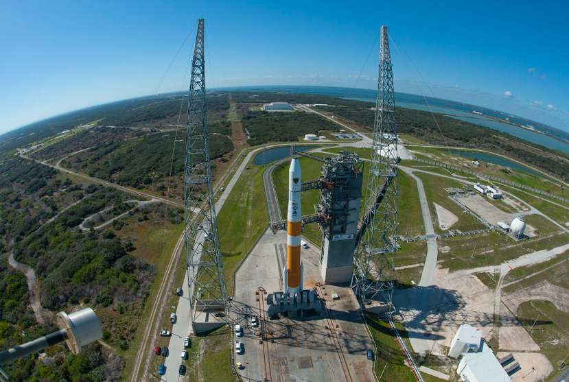
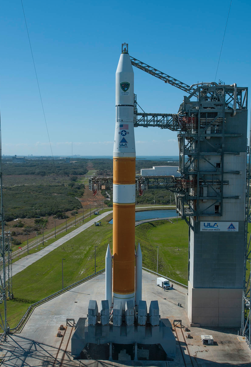
Cape Canaveral Air Force Station, Fla. (Feb. 20, 2014) - A United Launch Alliance Delta IV rocket stands ready for launch at Space Launch Complex-37 with the Air Force's Global Positioning System (GPS IIF-5) payload. Photo by Ben Cooper, United Launch Alliance
[SatNews] All is ready, and looking down the cars are small reminders of just how large this rocket is that in just hours will be tearing into space.
Launch is scheduled for this evening at 8:40 p.m. EST at the opening of a 19-minute window. GPS IIF-5 is the fifth in a series of next generation GPS satellites and will join a worldwide timing and navigation system utilizing 24 satellites in six different planes, with a minimum of four satellites per plane positioned in orbit approximately 11,000 miles above the Earth’s surface.
The Air Force’s GPS IIF-5 launch is set to liftoff on a ULA Delta IV rocket on Thursday, February 20 from Space Launch Complex 37 at Cape Canaveral Air Force Station in Florida. The 19-minute launch window opens at 8:40 p.m. EST.
SATELLITE COORDINATES
ALL TIMES EASTERN STANDARD TIME
BARS AND TONE – 7:50 P.M.
PROGRAM START – 8:20 P.M.
LAUNCH WINDOW – 8:40 – 8:59 P.M.
TRANSMISSION FOR DIGITAL HIGH DEFINITION
SATELLITE: SES 2
TRANSPONDER: 21
BAND: C-Band Digital
ORBITAL POSITION: 87 degrees west
CARRIER: SES Americom
HD BANDWIDTH: 18 MHz (half transponder ‘AB’)
DOWNLINK FREQ: 4111 MHz (Horizontal)
UPLINK FREQ: 6336 MHz (Vertical)
SYMBOL RATE: 13
FEC: ¾
DATA RATE: 17.9705
DVBS-QPSK
MPEG-2
AUDIO EMBEDDED
TRANSMISSION FOR DIGITAL STANDARD DEFINITION
SATELLITE: SES 2
TRANSPONDER: 21
BAND: C-Band Digital
ORBITAL POSITION: 87 degrees west
CARRIER: SES Americom
HD BANDWIDTH: 9 MHz (quarter transponder ‘C’)
DOWNLINK FREQ: 4124.5 MHz (Horizontal)
UPLINK FREQ: 6349.5 MHz (Vertical)
SYMBOL RATE: 6.1113
FEC: ¾
DATA RATE: 8.448
DVBS-QPSK
MPEG-2
AUDIO EMBEDDED
Weather Forecast
Overall probability of violating weather constraints: 20 percent
Primary concern(s): Cumulus Clouds, Solar Activity
Overall probability of violating weather constraints for 24 hour delay: 30 percent
Primary concern(s): Flight through Precipitation, Solar Activity
GPS IIF-5 SATELLITE | Overview
The Navstar GPS is a constellation of satellites that provides navigation data to military and civilian users worldwide. The system is operated and controlled by the 50th Space Wing, located at Schriever Air Force Base, Colorado.
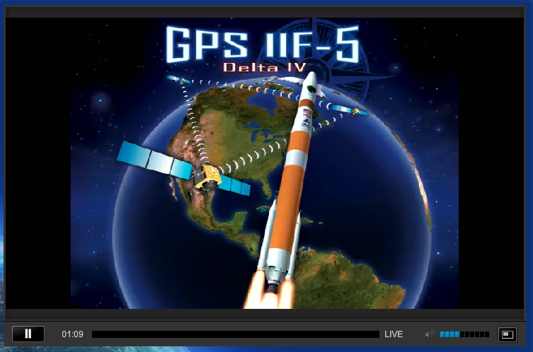
GPS utilizes 24 satellites, in six different planes, with a minimum of four satellites per plane, positioned in orbit approximately 11,000 miles above the Earth’s surface. The satellites continuously transmit digital radio signals pertaining to the exact time (using atomic clocks) and exact location of the satellites. The GPS IIF series have a design life of 12 years. With the proper equipment, users can receive these signals to calculate time, location, and velocity. The signals are so accurate that time can be measured to within a millionth of a second, velocity within a fraction of a mile per hour, and location to within feet. Receivers have been developed for use in aircraft, ships, land vehicles, and to hand carry.
As a result of increased civil and commercial use as well as experience in military operations, the USAF has added the following capabilities and technologies to the GPS IIF series to sustain the space and control segments while improving mission performance:
Two times greater predicted signal accuracy than heritage satellites. New L5 signals for more robust civil and commercial aviation. An on-orbit, reprogrammable processor, receiving software uploads for improved system operation. Military signal “M-code” and variable power for better resistance to jamming hostile environments, meeting the needs of emerging doctrines of navigation warfare.