

Counting trees is not exactly what MDA, a Maxar Technologies company (NYSE: MAXR) (TSX: MAXR), is doing... they are providing much more with their Forest Alert Service (FAS) space-based capabilities that have enabled Asia Pulp & Paper’s (APP) pulpwood suppliers to more strategically monitor forest cover loss in conservation areas and meet their commitment to stakeholders that conservation forest areas were not cleared in connection with the production of their products.
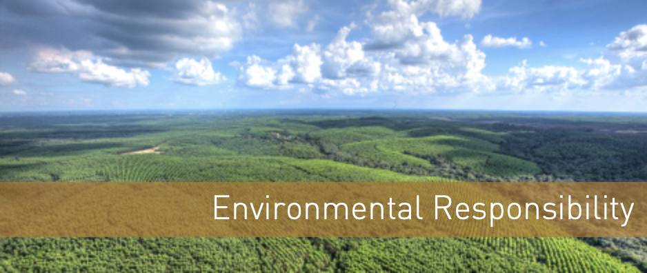
In less than three years since MDA began providing the monitoring service, APP reports the losses of natural forest cover in their suppliers’ forest concessions has dropped from between 5-6 percent[1] to just 0.06[2] percent in the conservation area of more than 600,000 hectares, demonstrating APP’s commitment to responsible forest management.

The strategic partnership between APP and MDA launched in 2016, enabling APP’s pulpwood suppliers to respond rapidly to detected forest changes. Monitoring land cover changes in production areas is essential for efficient operational planning and minimizes illegal encroachment, further protecting high-value forests.
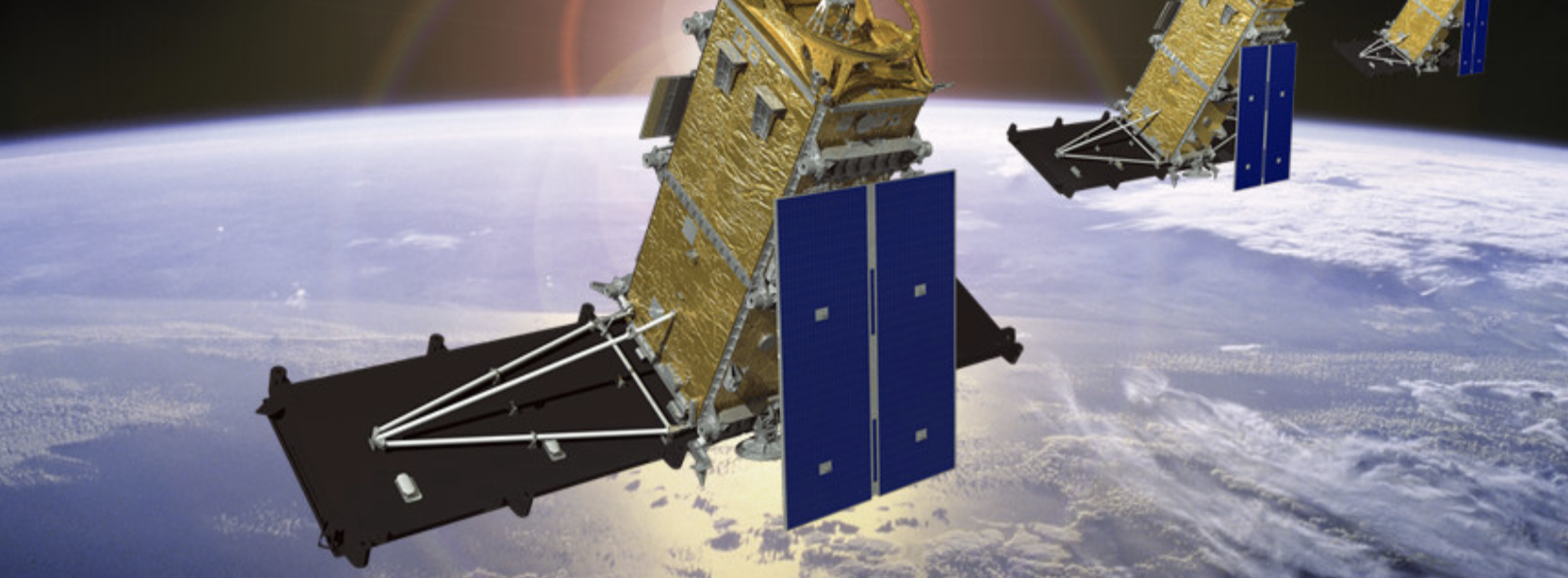
Employing MDA’s RADARSAT-2 satellite, FAS provides near real-time space-borne services to deliver critical and timely information to APP, typically within two days of data collection. Every 24 days, the system monitors approximately 3.8 million hectares, which also comprises APP’s pulpwood suppliers and the Giam Siak Kecil Biosphere Reserve. RADARSAT-2 penetrates clouds and precipitation to detect subtle forest disturbances, in an area as small as 0.5 hectares.
Elim Sritaba, Director of Sustainability and Stakeholder Engagement, APP said that conserving and protecting the Indonesian rainforest is the ultimate goal of the Forest Conservation Policy they announced in 2013. By partnering with MDA, they’re able to monitor the condition of the forests they manage and quickly investigate and resolve disturbance and preserve their precious natural resources.
Mike Greenley, group president of MDA said that they’re proud to use their satellite technology in detecting quickly and accurately when damage has occurred and aid in the preservation of the Indonesian rainforest.
The RADARSAT-2 satellite has global high-resolution surveillance capabilities that allow it to acquire data regardless of light or weather conditions, and to provide frequent re-visit imaging options. The information provided is ideally suited to markets that require either broad-area monitoring or targeted surveillance, such as maritime surveillance, defense and security, land use management, agriculture, disaster management and natural resources.
[1] Data based on field verification and satellite imagery
[2] Based on validation of detected and delivered FAS polygons