
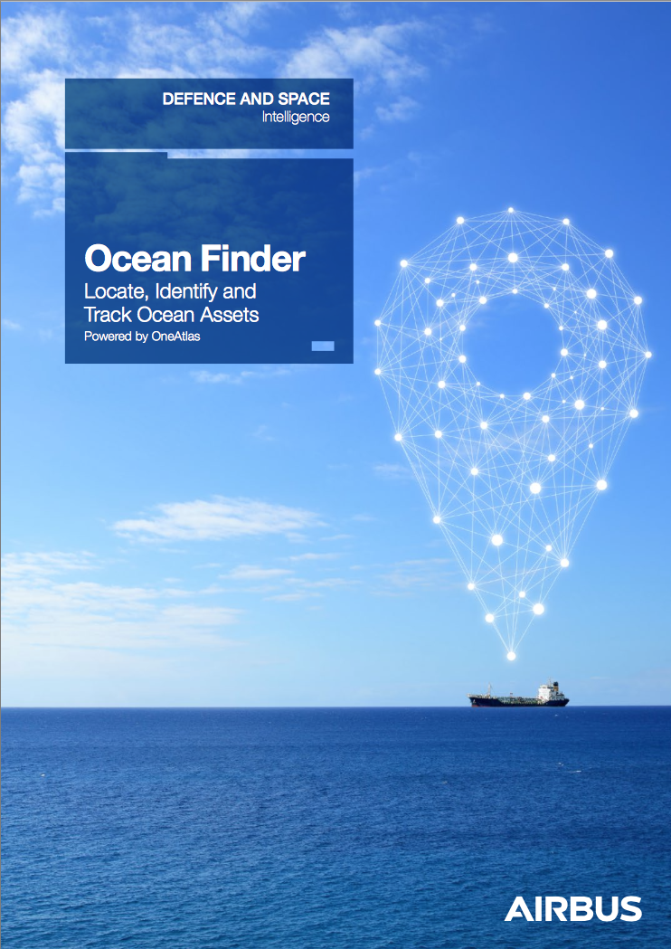
While at sea there are many possible issues that can cause concern — hijacked boats, illegal activities, search and rescue operations and monitoring ships. Airbus Defence and Space has a solution to this situation ... Ocean Finder.
Airbus Defence and Space has launched Ocean Finder, a self-ordering service delivering fast satellite-based detection and identification reports for assets at sea.
Ocean Finder supports a wide range of applications, such as monitoring fleets of ships, locating hijacked boats, illegal activities detection, maritime mission preparation as well as ensuring safety in hostile areas and supporting search and rescue operations.
The service is accessed via a dedicated web portal allowing users to easily define the localization and the surface of their area of interest and task the satellites directly. This can be activated in standard mode to support planned mission preparation, or emergency mode to support urgent intervention.
Ocean Finder leverages the Airbus satellite constellations, offering a full spectrum of Earth-imaging data, spanning multiple resolutions and spectral wavelengths, along with in-house maritime expertise.
The service combines freshly acquired imagery with additional information sources including AIS (Automatic Identification System) and open source data to deliver object-centric (ships, icebergs, oil slick) or area-centric (objects in a given area) detection and identification.