
North-seeking Gyrocompass Inertial Navigation Navigation in GNSS-denied environments is a challenge for small, low-cost unmanned vehicles such as those used for research, exploration, infrastructure monitoring, security monitoring and more. This paper by the Department of Mechanical Engineering of Johns Hopkins University evaluates a commercial north-seeking gyrocompass system built with a high-performance KVH inertial measurement unit (IMU) similar to the IMU core processor of the GEO-FOG 3D INS.
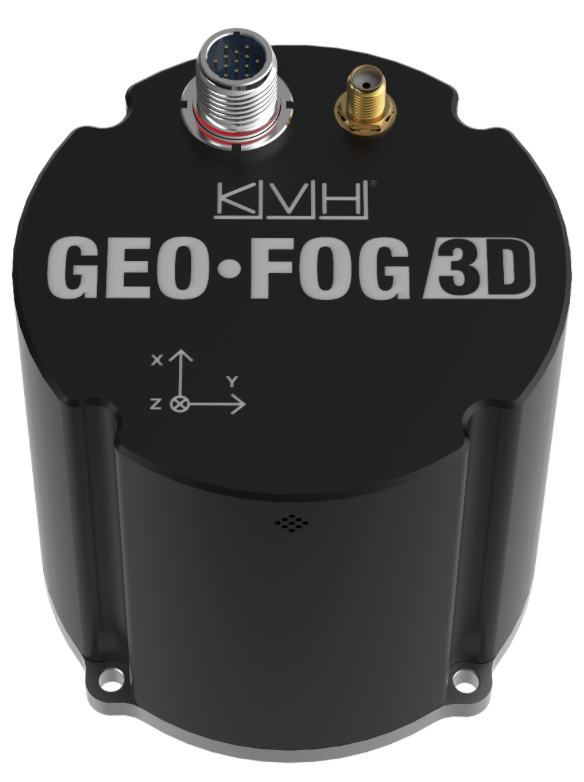
[Satnews] KVH Industries, Inc., (Nasdaq: KVHI) introducesthe GEO-FOG 3D inertial navigation system (INS). This new product offers roll, pitch, and heading accuracies of .05 degrees for demanding applications in unmanned, autonomous, and manned aerial, ground, marine, and subsurface platforms, such as subsea remotely operated vehicles (ROV) or mining systems.
The GEO-FOG 3D is based on the company’s high-performance fiber optic gyro (FOG) technology combined with centimeter-level precision RTK GNSS receivers and advanced sensor fusion algorithms. The result is a solution that continuously provides fast, ultra-accurate position, velocity, and attitude measurements that keep applications operating no matter how challenging the conditions.
The core inertial sensor for the new system is KVH’s 1750 IMU, The 1750 IMU is then fully integrated with a GNSS receiver and a 3-axis magnetometer, a barometric pressure sensor, and a triple frequency RTK GNSS receiver to deliver reliable, real-time, centimeter-level positioning and orientation measurements. The system’s breakthrough sensor fusion algorithms automatically switch from loosely- to tightly-coupled filtering for improved performance under poor GNSS signal conditions. The system also offers high-speed update rates and rapid north-seeking gyrocompass capabilities for high-accuracy heading in environments when magnetometers and GNSS-aided heading cannot be used.
KVH has also introduced a variant, the GEO-FOG 3D Dual, an INS and attitude and heading reference system (AHRS). This product features two GNSS antennas on a fixed RTK baseline that offers the same reliability and performance levels as the GEO-FOG 3D, with increased heading, pitch, and roll accuracy for static and dynamic applications where single antenna systems can be problematic. The GEO-FOG 3D Dual is a superior choice for applications that require heading at system startup or in low dynamic conditions.
“KVH’s GEO-FOG 3D and GEO-FOG 3D Dual provide exceptional accuracy and outstanding performance in a single, small package (<1.6 lbs.), at price points never previously achieved in the industry,” says Jay Napoli, KVH’s FOG/OEM vice president. “And, because KVH controls the entire design and production process, from creating its own optical fiber to packaging its FOGs together with other sensors for advanced applications, these new products—and all of our open-loop FOGs, IMUs, and INSs—offer outstanding accuracy and excellent durability at a lower cost than competing systems.”
Reliable, high-accuracy navigation and control are essential to unmanned, autonomous, and manned platforms that must operate in conditions that include magnetic interference and the absence of reliable satellite navigation data. The integrated FOG, GNSS, and sensor fusion technologies allow the GEO-FOG 3D and GEO-FOG 3D Dual to achieve performance levels that are beyond typical INS- or MEMS-based solutions.
Both the GEO-FOG 3D and GEO-FOG 3D Dual are designed to support current and future satellite navigation systems including GPS, GLONASS, GALILEO, and BeiDou. Both systems offer data rates up to 1000 Hz, and the ability to output data over a high-speed RS-422 interface or RS-232 interface, which ensures the systems can be easily and readily integrated in a wide range of platforms.