

[SatNews] Proteus FZC has received the 2014 Award for Geospatial Excellence in Research & Development from the UK Association of Geographic Information (AGI).
The award was bestowed by AGI to recognize the terrestrial and marine land use/land cover (LULC) and habitat mapping project conducted by Proteus for the Emirate of Abu Dhabi
“The scale of this project and integration of land-based/maritime satellite imagery to influence planning decisions and track carbon is ground breaking,” said the AGI judges at the November 13 awards ceremony.
Proteus will complete the Emirate-wide, three-phase, multi-million dollar project this year. Conducted under contract to Environment Agency—Abu Dhabi (EAD), the project covers 60,000 sq. km. of land area and the coastal marine environment down to the 15 meter contour. The Proteus-led team used advanced processing algorithms to extract LULC and habitat features from high-resolution multispectral satellite imagery acquired over both land and sea. In the coastal Arabian Gulf, Proteus delivered seabed classifications to depths of 15-20 meters.
“This project has been a team effort led by our own Richard Flemmings, Chris Burnett, and Helen Withers, who have ensured that each of the 18 key deliverable deadlines has been met on time,” said Proteus CEO David Critchley. “Our client, EAD, has been terrific to work with, and our sub-contractors carried out their parts of the project with precision.”
Proteus teamed on the project with DigitalGlobe Inc., Nautica Environmental Associates LLC of Abu Dhabi, and GMV of Madrid. EAD is a government agency tasked with protecting, managing and conserving the environment, as well as promoting sustainable development, in the Emirate of Abu Dhabi. Maps created in this project will serve as the primary baseline ecological dataset supporting EAD’s environmental preservation activities for the next decade.
“In only our third year in business, Proteus is honored to receive such a prestigious award from AGI recognizing the value of geospatial technology in a critical environmental mapping project,” said Critchley.
AGI is the membership organization for the UK geospatial industry. The AGI exists to promote the knowledge and use of geographic information for the betterment of governance, commerce and the citizen. The AGI infosite is accessible at http://www.agi.org.uk
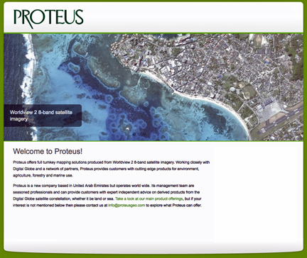
For more information on Proteus products, please visit http://www.proteusgeo.com/