
[SatNews] A solar powered antenna providing Wi-Fi to all the inhabitants of a remote African village is no longer just a dream.
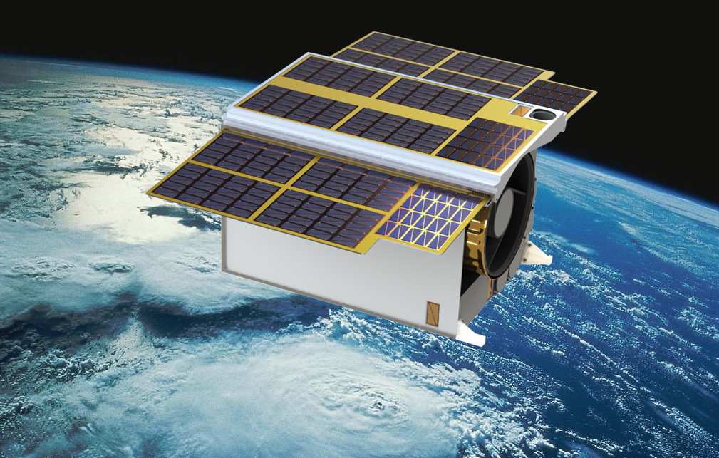
Phoenix in orbit Artist’s impression of the South African-developed satellite Phoenix-20 HS in orbit.
The satellite industry is destined to become an essential element in bolstering Africa’s future economic growth and the social wellbeing of its inhabitants in areas such as education, improved living standards, food security, and health.
New technologies and continual miniaturization in the field of satellite engineering have made satellites progressively more capable of putting even the remotest African village in direct contact with quality information. Improved government services, the management of natural resources, the monitoring of natural disasters, ecological threats and the status of infrastructure are all now possible irrespective of location thanks to satellites.
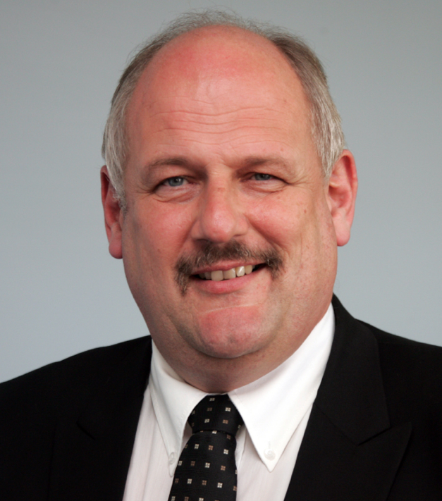
Dr. Sias Mostert, CEO of the SCS Aerospace Group (SCS AG).
According to Dr. Sias Mostert CEO of the South African Space Commercial Services Aerospace Group (SCS AG), this new technology applied with lightweight small Earth observation satellites, is effective for the management of natural resources, in particular agriculture in addition to the monitoring of natural threats such as floods, severe storms and large fires. Physical infrastructure such as roads, railways, airports, bridges, pipelines, dams, and antennas, which are exposed to inclement weather and deterioration, can also be accurately monitored to detect minute changes and institute preventative action. This all combines to enable authorities to make informed decisions not only to improve living conditions and social wellbeing but to save lives as well.
“The backbone of this new advanced remote sensing system is based on two technological developments. The first is an optical hyperspectral sensor that is able to break up images into many different spectral bands to unveil more details about the Earth’s surface. The second solution is a Synthetic Aperture Radar (SAR) imaging sensor an advanced remote sensing system which can provide continuous updates irrespective of whether it is day or night, and independent of weather and cloud obscuration. Ultimately it can be used for detecting changes in the surface of the earth of only a few millimeters over time,” says Dr. Mostert.
“Monitoring from space has many practical uses such as sensing the health of agriculture crops for food security, forest canopies to prevent diseases, soils and vegetation for restoration after mining operations, aquatic ecosystems for future water resource, mapping of natural vegetation, shoreline changes, the effect of climate change and monitoring for the onset of natural disasters,” he says.
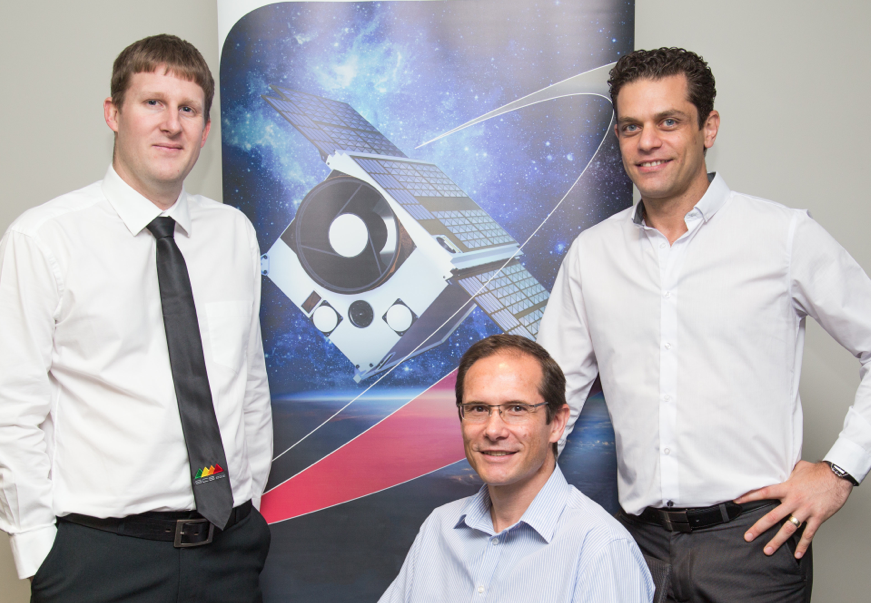
Phoenix Team-Some members of the South African Phoenix-20 HS micro-satellite design team with an artist’s impression of the product. From left are Duncan Stanton project manager, Hendrik Burger chief technical officer, and Marcello Bartolini systems engineer.
At the same time, there are also moves afoot by big players in the satellite industry such as South African born billionaire entrepreneur Elon Musk, whose company SpaceX is set to challenge the cable-dependent broadband industry. SpaceX plans to launch a constellation of up to 700 satellites which will deliver Internet services anywhere on Earth without the use of cables.
All the while, companies such as Google, Facebook and Outernet are also hard at work making the delivery of information through the Internet possible in even the remotest regions on Earth. A solar powered antenna providing Wi-Fi to all the inhabitants of a remote African village is no longer just a dream.
The Somerset West-based SCS Aerospace Group is South Africa’s leading private small satellite contractor, with business interests and ongoing contracts in numerous countries around the world. They recently launched a new product the Phoenix 20-Hyperspectral Satellite, which employs the hyperspectral remote sensing system.
The group operates in partnership with a number of companies specializing in various fields of satellite applications and satellite engineering. The applications include Geo-Risk Management, Geo Information Systems, and Social Development.