

There's a new element added to Globalstar Inc.'s (NYSE MKT: GSAT) SPOT mapping software. This new platform gives adventurers and lone workers enhanced location insights, including granular detail about terrain to aid navigation, and, for the first time, weather forecast overlays.
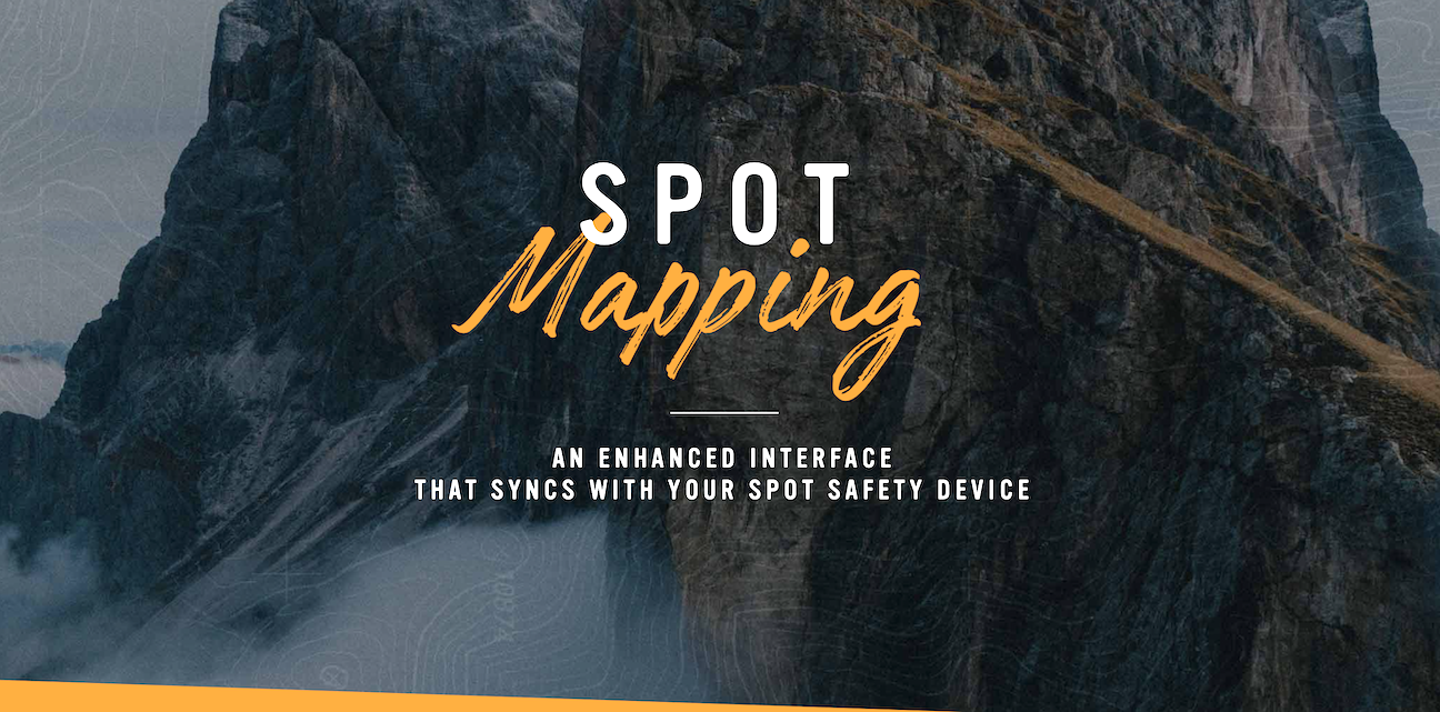
Globalstar Europe Satellite Services Ltd, a wholly owned subsidiary of Globalstar Inc. (NYSE MKT: GSAT) introduced its new mapping software, ccc. SPOT Mapping makes it easier than ever for SPOT owners to plan and track their trips, with dynamic intelligence about local conditions, and allows them to share their journey details with friends, family and colleagues. SPOT Mapping is now available for all existing SPOT customers including SPOT X, SPOT Gen 3, SPOT Trace, and legacy SPOT products.
Users can now view maps with satellite, road and terrain options with far more detail than previously available. The entry-level SPOT Basic Mapping service is included in the SPOT Basic service plan. It enables users to post their waypoints; set an alert for check-in or custom messages; share maps with up to three additional people, store up to 10 contacts, and store up to three years of position history.
Premium Mapping pricing starts at 24 Euros (£20) including VAT annually and features weather mapping layers, geofencing and two-way messaging to/fromSPOT X, the latest addition to the SPOT family, launched in 2019. The premium service also allows users to share maps with up to 10 people, store up to 25 contacts, and hold up to five years of position history.
Enterprise-level subscriptions start at 45 euros (£38) + VAT per year with unlimited sharing and contacts, as well as features including the ability to customise maps and add customised icons.
Karim Kabir, CEO of VarioTek, a German SPOT reseller said that with a choice of devices to suit different types of adventurer and lone workers, SPOT devices are being used by individuals and groups exploring remote regions of Europe from the Alps to the Nordic tundra. With this new mapping software, users now have the information at their fingertips to plan routes accurately and even check the local weather.
Dave Kagan, CEO of Globalstar added that having listened carefully to SPOT users about their mapping needs, they have worked diligently to bring them an enhanced mapping experience. SPOT has been used to trigger more than 7,000 rescues worldwide, and now, with their new mapping platform, it will keep outdoor adventurers more informed than ever, resulting in safer journeys into the wild, and more peace of mind for friends, family and colleagues.
Powered by the Globalstar Satellite Network, with its worldwide fleet of spacecraft in Low Earth Orbit (LEO), the SPOT family of satellite messengers provides affordable messaging and tracking for outdoor enthusiasts and remote workers. SPOT devices with a one-touch SOS button have a direct connection to the GEOS International Emergency Response Coordination Center.