
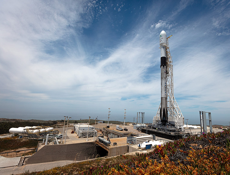
SpaceX is busy, busy, busy... tomorrow, Wednesday, June 12 SpaceX is planning for launch of the RADARSAT Constellation Mission from Space Launch Complex 4E (SLC-4E) at Vandenberg Air Force Base in California.
The primary launch window opens at 7:17 a.m. PDT, or 14:17 UTC, and closes at 7:30 a.m. PDT, or 14:30 UTC. The satellites will begin deployment approximately 54 minutes after launch. A backup launch window opens on Thursday, June 13 at 7:17 a.m. PDT, or 14:17 UTC, and closes at 7:30 a.m. PDT, or 14:30 UTC.
Falcon 9’s first stage for this mission previously supported Crew Dragon’s first demonstration mission in March 2019. Following stage separation, Falcon 9’s first stage will return to land on SpaceX’s Landing Zone 4 (LZ-4) at Vandenberg Air Force Base.
SpaceX's live launch coverage will begin about 15 minutes before liftoff. To watch SpaceX's live launch webcast or to learn more about the mission, visit.
The RADARSAT Constellation Mission (RCM) is Canada’s newest generation of radar Earth Observation (EO) satellites that will contribute to a better understanding of Canada’s land and natural resources.
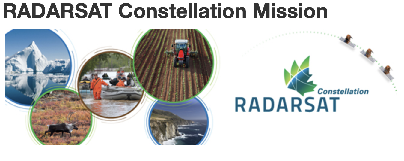
The RCM will capture images of the Earth's water, land, ice and atmosphere during the day and night and in all types of weather, including heavy cloud cover, smoke and haze.
How Canada will use data from the RADARSAT Constellation Mission...
The Government of Canada relies on radar satellite data to conduct research about Canada’s land, water and natural resources, and to support essential services such as hazards monitoring, emergency response, and ice monitoring in Canada’s northern waters.
Radar data also benefits academic and commercial users in agriculture, biology, cartography, hydrology, forestry, oceanography, and ice studies.
The RCM will provide important data in three core areas:
- Maritime surveillance: Ice monitoring, ship detection, oil pollution monitoring and marine wind measurement.
- Disaster management: Mitigation, warning, response and recovery for earthquakes, floods, landslides, volcanoes, and windstorms.
- Ecosystem monitoring: Forestry, agriculture, protected areas, wildlife habitat, wetlands, and coasts.
As a constellation, the RCM will launch three small identical satellites instead of a single large satellite like RADARSAT-1 and RADARSAT-2.
Orbiting the Earth in the same path at intervals approximately 30 minutes apart, these satellites will provide complete coverage of the Arctic between four and six times per day, and all of Canada at least once per day.
With their rapid revisit capability, the satellites will be able capture the exact same view of the exact same location on the Earth's surface once every four days instead of once every 24 days, as is currently possible with RADARSAT-2.