

[SatNews] The Compass family of geospatial companies reminds organizations involved in recovery efforts related to the 2013 Colorado floods they may still obtain GIS and mapping support at no or low cost through the Compass4Colorado program.
Established in September 2013 and continuing through March 31, 2014, Compass4Colorado has supplied geospatial products and services to several companies and government offices.
“Through Compass4Colorado, we have put vital equipment and expertise into the hands of people performing the difficult tasks of damage assessment following the deadly floods,” said W. Brant Howard, Founder and Chairman of CompassTools Inc. “In true Colorado spirit, several of our business partners joined in the Compass4Colorado program.”
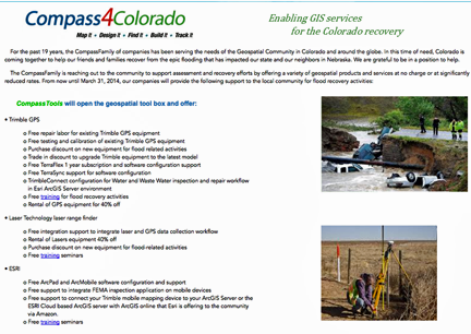
Compass4Colorado (http://www.Compass4Colorado.com) offers mapping software, integration services, training and expertise at no charge and equipment rentals at significantly reduced rates to public- and private-sector organizations engaged in flood assessment and recovery. Participants in Compass4Colorado include CompassTools, CompassData and CompassCom from the Compass family, as well as these other companies – Trimble Navigation, Laser Technology, DigitalGlobe, and GeoSpatial Experts.
Compass4Colorado officially kicked off last October with open seminars attended by local companies, utilities, and government officials who learned how high-tech GIS and GPS equipment could be used to quickly and accurately collect damage assessment information. Following these seminars, several organizations requested support in the form of services or equipment.
These efforts included:
- CompassData worked with Photo Science Inc. to map flood damage in 15 impacted counties of the Colorado Front Range from Denver north to Fort Collins and east to the Nebraska border. Under contract to the U.S. Geological Survey, Photo Science captured airborne LiDAR data, and CompassData field crews collected 400 GPS ground control points from which a 3D model was generated.
- CompassTools and partners – Trimble and Laser Technology -- provided mapping equipment, software and consulting to the City of Aurora, Boulder Parks & Recreation, and Town of Estes Park.
- CompassData provided ground control collection services and created an orthorectified Digital Globe satellite image collected over the Rocky Flats National Wildlife Refuge during the floods.
“Many of the flood recovery activities have progressed from the assessment to the re-building phase, and GIS and mapping technology can still play an important role,” said Howard. “We encourage local organizations to take advantage of Compass4Colorado today.”
The Compass infosite may be accessed at http://www.compasscom.com/