
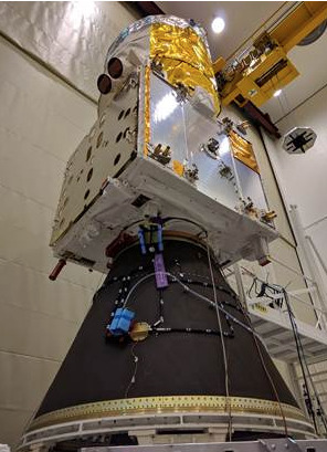
Airbus-built Aeolus wind sensor satellite
ready for shipment.
The European Space Agency’s wind sensing satellite, Aeolus, is onboard the Airbus vessel “Ciudad de Cádiz" with the destination of Kourou, French Guiana. The satellite's extra sensitive instruments wouldn't permit the usual means of transportation, via air, because a sudden loss of air pressure would damage the vehicle.
The launch from Arianespace is scheduled for August 21. Another first will take place with Aeolus, the 1.33-tonne spacecraft, primed by Airbus, is the first ever space-borne LIDAR (LIght Detection And Ranging) instrument called Aladin, which uses the Doppler effect to determine the wind speed at varying altitudes.
Aeolus will orbit the Earth 15 times a day with data delivery to users within 120 minutes of the oldest measurement in each orbit. The orbit repeat cycle is 7 days (every 111 orbits) and the spacecraft will fly in a 320 km orbit for three years. The data from Aeolus will provide reliable wind-profile data on a global scale and is needed by meteorologists to further improve the accuracy of weather forecasts and by climatologists to better understand the global dynamics of Earth’s atmosphere.

Aladin fires a powerful ultraviolet laser pulse down through the atmosphere and collects backscattered light, using a large 1.5m diameter telescope, which is then analyzed on-board by highly sensitive receivers to determine the Doppler shift of the signal from layers at different heights in the atmosphere.
Nicolas Chamussy, Head of Space Systems at Airbus stated that Aeolus is a world first with break-through technology that will make a huge contribution to weather forecasting on a global scale. Pioneering a LIDAR instrument in Space is quite a challenge — but a great example of what Europeans can achieve when they work together.