
[SatNews] “This partnership helps to further expand the company's footprint into an area that will benefit greatly from our unique bathymetry and water quality offerings.
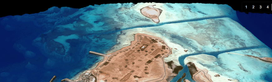
EOMAP, provider of Satellite Derived Bathymetry and Earth observation data, today announced a reseller partnership with Caribbean-based GeoOrbis. The core aspect of GeoOrbis, Geographical Information Systems Consulting is strategically aligned with EOMAP’s offering. Under the terms of the partnership, GeoOrbis will leverage EOMAP’s multiple source Bathymetry products and its award-winning Satellite Derived Water Quality platform, to expand their geospatial product offerings.
“We are pleased to have Geo Orbis join EOMAP as a valued reseller”, said Matthew Bergin, Vice President of EOMAP Americas. “This partnership helps to further expand EOMAP’s footprint into an area that will benefit greatly from our unique bathymetry and water quality offerings. Geo Orbis has a solid roster of Caribbean based customers and we look forward to helping expand their sales and profits.”
“The EOMAP Bathymetry products and Water Quality platform products will provide our clients with derived products that are ready to use in their own analysis and mapping projects,” said Craig Batstone, Managing Director of GeoOrbis. “Most of the Caribbean territories are still in the process of developing base mapping data and starting to transition into the development of geospatial analysis tools, so the EOMAP products provide a valuable time saving option for our clients to move directly into analysis.”
EOMAP GmbH & Co.KG, an independent company located at Seefeld, near Munich, Germany specializes in optical remote sensing services in the aquatic sector.
Their offered solutions rely on standardized physical models and work independently of scale, sensor type, and geographic location. Pioneering in the field of satellite derived Bathymetry, their services are applied for environmental monitoring and spatial explorations of coastal zones, inland waters, wetlands and other areas requiring high precision mapping. The map products as well as classification software solutions based on multi to hyperspectral remote sensing data are helmed by a team of natural scientists with niche expertise.
GeoOrbis, Inc. is a Barbados-based geospatial technologies firm that provides products and services to both public and private sector clients throughout the Caribbean. Their services include geospatial project management, application development, GPS asset collection, GIS based asset management, imagery classification and base mapping.