
A service at no cost to those interested in visualizing greenhouse gas emissions will become a reality courtesy of Montreal-based GHGSat. The interactive online resource will be freely available and will be formally launched during COP26 in November 2020.
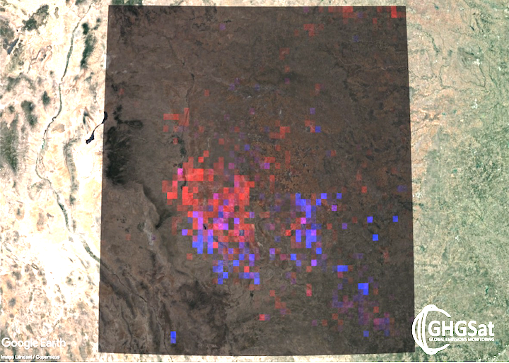
Initially GHGSat plans to provide visualization for methane, on a grid averaging 2 km x 2 km anywhere over land. Users will be able to zoom into the grid to explore geographic patterns and hotspots of methane, an important greenhouse gas. The visualization will be updated on a rolling basis with the latest data. GHGSat will continue to offer higher resolution methane emission measurements, up to 25 m x 25 m, under a paid subscription service.
The free visualization will integrate data from GHGSat’s own satellites, the Copernicus Sentinel satellites, as well as other current and future atmospheric monitoring missions.
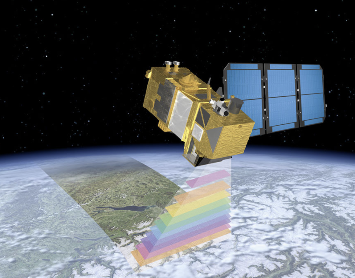
Sentinel-2A Satellite - New Eyes of Copernicus Ready for Space - SpaceRef Business
Having three years of experience in integrating rich data sources in GHGSat’s commercial services, company President and CEO, Stephane Germain said that they decided to make this core capability openly available to accelerate the impact of their measurements. He added that, they plan to launch during COP26 to highlight the importance of combining the best of all satellite capabilities to help solve the real-world challenges of this decade.
In 2016, GHGSat launched the world’s first satellite (“Claire”) designed to measure greenhouse gas emissions from industrial facilities. Claire has since taken thousands of measurements, covering over a million square kilometers of the Earth’s surface, identifying previously undetected methane leaks which operators were then able to address. Public samples of these measurements are available on GHGSat’s website. Building on the success of this first satellite, GHGSat is launching two more satellites and an aircraft sensor in 2020. GHGSat uses its satellites and aircraft sensors to offer monitoring services for industrial facilities in sectors such as oil & gas, power generation, mining, waste management and agriculture to measure, control and ultimately reduce emissions.