
[SatNews] "...unfortunately the country is not in the economic capacity to make this investment.”
Colombia’s vice president has announced the country will not purchase a $250 million satellite, but instead will continue to buy information coming from other satellites.
The planned satellite is canceled because the government doesn’t have the budget for the purchase, vice president German Vargas stated.
“We have explored the possibility over the last few years but the government concluded that at this time is too inconvenient, unfortunately the country is not in the economic capacity to make this investment,” Vargas said.
The government prefers to purchase the necessary satellite images elsewhere, which cost $11,5 million a year adding up to $80,5 million in the same seven years the planned satellite would last.
“We have explored the possibility over the last few years but the government concluded that at this time is too inconvenient, unfortunately the country is not in the economic capacity to make this investment.”
According to the opposition, Colombia is running behind on technology. Conservative opposition senator and former Communications Minister Maria del Rosario, warned that by not investing in a satellite, Colombia is allowing other Latin American countries to take advantage technologically. The lawmaker added that the satellite technology is necessary to predict natural disasters.
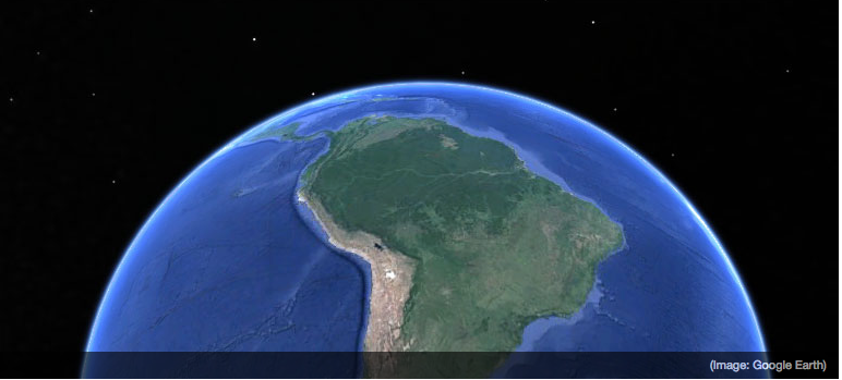
According to El Tiempo newspaper, most Latin American countries get their information through a third party with access to satellites, but major economies like Brazil, Venezuela, Argentina and Mexico have their own satellites.
Colombia uses satellite data for different purposes such as communications, national security, identification of illicit crops, agricultural development programs and the implementation of infrastructure plans.
There are other ways of gathering information. The President of the Geographic Institute Agustin Codazzi (IGAC), Juan Antonio Nieto, stated that not only satellite information enables the government to receive the necessary information, according to newspaper La Vanguardia. Nieto mentioned that radar and drones can be used to produce the required knowledge.
“What we want is to have the country fully identified to the lowest possible level, so mayors, governors and the national government can perform better planning of the territory,” Nieto stated.
Posted by Christoffer Frendesen