
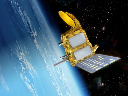
Artistic rendition of the SARAL satellie, courtesy of CNES
...Sriharikota and it will maintain an eye on the vulnerable points along Indian coasts and islands. The payload carries instruments to measure the rise in sea levels from space as well as to collect other ocean data that will help to study the coast and estuarine, tsunami prediction and may also lead to improved weather forecast. The Indian Space Research Organisation’s (Isro) polar satellite launch vehicle (PSLV-C20) will launch the 410kg. satellite along with six other foreign micro and mini satellites on Monday.
There will be two instruments on board—a Ka-band altimeter named AltiKa that helps measure ocean surface topography with unparallelled accuracy, and ARGOS-3, an instrument for collecting data transmitted by 17,000 geo-tracking devices worldwide. The technology offered by SARAL would significantly improve the satellite measurement of sea levels as well as the understanding of tropical climate, the French embassy said in a statement.
Being the second Indo-French satellite after the Megha-Tropique, SARAL is being launched after India and France signed an agreement to further their collaboration in space research during the first visit of French President Francois Hollande. SARAL, however, has been delayed by almost two years, as the first launch was scheduled in 2011 and was then later rescheduled to December of 2012. That, too, was postponed and further tests were carried out to ensure the payload’s reliability in collecting and transmitting data.The Indo-French satellite will complement the data collected by European Space Agency’s ENVISAT satellite that moves in the same orbit.
Scientific studies have shown that the sea level in the Indian Ocean is rising unevenly and threatening residents in some densely populated coastal areas and islands. The rise is especially high along the coastlines of the Bay of Bengal and the Arabian Sea, as well as Sri Lanka, Sumatra and Java. One study, published in Nature Geoscience in 2010 suggested mid-ocean islands such as the Mascarenhas Archipelago, coasts of Indonesia, Sumatra and the north Indian Ocean might experience significantly more rise in sea level than the global average. Using tide gauge data gathered in the last two decades, National Institute of Oceanography in Goa has demonstrated high sea level rise in Diamond Harbour in West Bengal followed by Kochi, Mumbai and Visakhapatnam. (Source: Deccan Herald.)