

[Satnews] The Indian Space Research Organisation (ISRO) and NASA will join hands for the first time to launch a satellite that will help study earthquakes and its patterns.
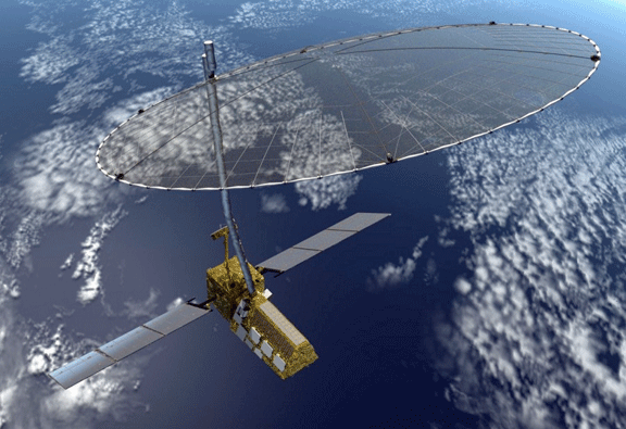
Artistic rendition of the NISAR satellite.
Image is courtesy of NASA.
The satellite is called NASA-ISRO Synthetic Aperture Radar, or NISAR, and designed to observe and take measurements of some of the Earth's most complex processes, including ecosystem disturbances, ice-sheet collapse, and natural hazards such as earthquakes, tsunamis, volcanoes and landslides. India and US are also collaborating in a major way in the Mars Mission project.
"The US is providing L-band. It will help us look at crustal deformation. We are looking for hints at earthquake detection. We cannot predict earthquake but we can advise people where it has occurred. We are hoping to launch it by 2020-21," Bolden told reporters.
To discuss applications of remote sensing technologies for disaster mitigation and bettering global climate change monitoring, the heads and representatives of several space agencies were assembled in India's national capital. The project will not only help in understanding the seismic activity but also give inputs for monitoring agricultural activities in India, said ISRO's Kiran Kumar.
"The activity involves building a payload with L- and S- bands synthetic aperture radar. It's a new technology instrument. While NASA provides the L-Band component of the electronics plus the antenna, which is a huge one. ISRO will provide the S-Band and the payload will be integrated at NASA and then the payload comes back at Bangalore. It gets integrated on the satellite, which is being built and will be launched by ISRO," Kumar said. "Currently the activities are going on in full swing. Both the governments have cleared the basic mission. We are looking at a possible launch with 2021. We are trying to advance the launch and we are working towards it. As far as we are concerned the usage of this got many significant usage for our program," Kumar said. "You can measure accurately the variations in surface topography, accuracy of millimeters. So, it's not earthquake prediction that is possible and making measurements of locations where large deformation are consistent, observation of changes in surface measures which will lead to stress levels being built up at certain locations which could help in understanding the behavior of understanding earthquake and its phenomena. The objective is to make systematic study in timely manner."
He further said that it will give primary data of surface deformation and the frequency of the measurement is very significantly different from what is available now and thats what is being looked at globally as a new input for enabling a large number of applications to be brought about.
"Both space agencies have formed a working group and they meet periodically. They look at the result available from Mars Orbiter Mission and MAVEN. They also look at if there could be some coordinated measurements which could be planned. In the future, we are also looking at what we could so with NASA in our future MARS missions. We are also looking at opportunities for some of our payloads which can be carried on their (NASA's) programs. This is a continuous dialog on how we can take forward our current engagements on Mars program," Kumar said.