
These world-first digital maps of the coral reefs, using satellite derived depth (bathymetry) techniques, are a critical step towards identifying, managing and essentially preserving and protecting what lies within the waters of th is global icon. Project partner, Dr. Robin Beaman of James Cook University, said the product is different to anything else available, as until this product, nearly half of the shallow water reef area on the Great Barrier Reef had not been mapped using modern digital surveys.
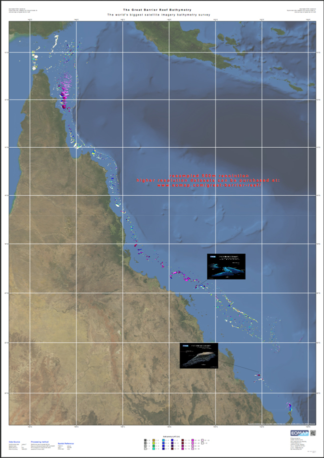
EOMAP's Great Barrier Reef Bathymetry map. Image courtesy of EOMAP. You can download this map via this direct link.
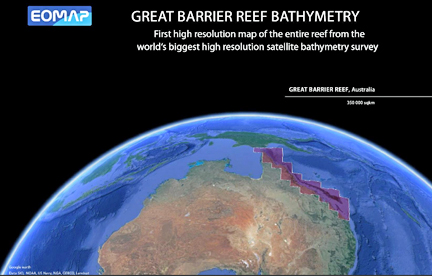
The result is the largest project of its kind ever conducted in Australia, and poss ibly the en tire world. The 3D water depth maps have a 30m horizontal resolution over approximately 350,000km2 of the Great Barrier Reef World Heritage Area and Torres Strait, providing not only more detailed individual reef data, but also a complete picture of Earth ’s largest coral reef ecosystem.
“This information is regarded as essential for any government or company involved with managing the reef environment,” said Professor Stuart Phinn, University of Queensland, another partner on the project. The EOMAP product will aid the ‘big picture’ assessments of the Great Barrier Reef, including water quality modeling, measuring responses to both man-made and natural impacts, such as sediment transportation and tropical cyclones, and helping to predict the likely impacts of climate change effects, such as sea level rise and increa sed tropical cyclone frequency. It will also help target priority areas for more detailed data collection.
“There is often a disconnect between research and industry, where researchers generally look at changes on individual reefs and hab itats,” said Dr. Nathan Quadros from the Cooperative Research Centre for Spatial Information, also a partner on the project. “ But industry wants the overall picture of the reef—this product brings the two together.”