
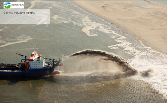
[SatNews] Proteus FZC, a provider of satellite-derived mapping and classification services, has delivered marine habitat maps for four Environmental Impact Assessments (EIA).
Proteus completed the mapping components of the EIAs on behalf of oil & gas companies and engineering consulting firms. Proteus will be discussing these projects in Stand W37 at the 2015 Ocean Business Conference being held April 14-16 at the National Oceanography Centre in Southampton, UK.
For the four projects, Proteus delivered classification maps of offshore marine habitats along with bathymetric data, all derived from high-resolution commercial satellite imagery. Two of the EIAs also required production of satellite-derived land use/land cover maps for terrestrial ecosystems. To create the classification maps, Proteus processed WorldView-2 imagery from DigitalGlobe and Pléiades data from Airbus Defence & Space.
“The clients turned to us to provide maps of fragile habitats because multispectral-imaging satellites can derive this information faster, more accurately and at finer resolution than other mapping methods,” said Proteus CEO David Critchley. "We classified protected habitats such as sea grasses and coral reefs to a grid resolution of two to five meters in size,” said Critchley. “The best classification resolution these clients had ever achieved before with offshore divers was 100 meters.”
The satellite captures habitat details continuously and consistently across the area of interest, whereas divers can only collect ground truth data at locations often separated by large distances, leaving interpolation to fill in the blanks, explained Critchley. Compared with the common method of dispatching scuba divers on boats, satellite image classification is far less expensive and safer. In addition, imaging satellites require no special permits to access sensitive areas the way dive boats do.
Proteus is rapidly carving a niche as a worldwide provider of satellite-derived marine habitat classification maps and bathymetric data. Few value-added geospatial firms have developed the specialized expertise needed for generation of subsurface marine information.