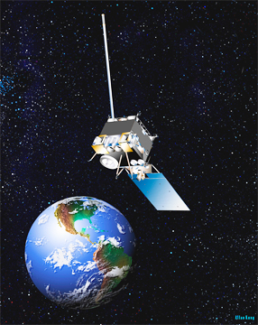
NOAA's GOES-11 satellite, artistic rendition, courtesy of NOAA

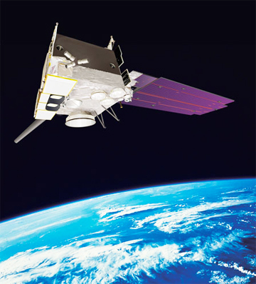
The GOES-15 satellite, artist concept image
Aware that GOES-11 was nearing the end of its fuel supply, NOAA personnel spent the past several months planning for the end of its mission. Deactivation of GOES-11 started when data observations were shifted to GOES-15. On December 15, NOAA will fire the spacecraft’s booster, moving GOES-11 approximately 185 miles (300 km) above its current geostationary orbit, where it will be officially decommissioned.
Launched May 3, 2000, GOES-11 was originally planned for a five-year mission, but lasted nearly seven years longer. In addition to GOES-15 and GOES-13, NOAA has two other geostationary satellites in orbit – GOES-12, which provides data for South America, and GOES-14, which is in a storage orbit as a ready backup or replacement. NOAA is planning the next generation of geostationary satellites, called GOES-R, with the first set to launch in 2015. GOES-R is expected to more than double the clarity of today’s GOES imagery and provide more atmospheric observations than current capabilities with more frequent images. In addition, data from GOES-R instruments will be used to create many different products NOAA meteorologists and others will use to monitor the atmosphere, land, ocean and the sun.

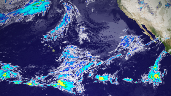
On Dec. 6, 2011 at 1545z, GOES-15 took its first infrared image as the operational geostationary satellite positioned over the Pacific - called GOES-West. This image shows a portion of that first image. The clouds are colorized based on their temperature, an indication of storm intensity. GOES-15 will continue to image the Western U.S. and Pacific every 15-30 minutes, with full hemisphere scans every 3 hours until its retirement - hopefully many years from now.
Credit: NOAA

