
 PCI Geomatics has released GeoImaging Tools for ArcGIS(tm). Offering accurate and highly automated tools for correcting raw satellite imagery, GeoImaging Tools is revolutionizing the integration of remotely sensed imagery into GIS workflows.
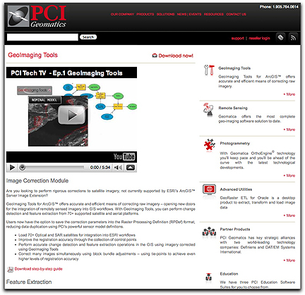
With the GeoImaging Tools Image Correction Module, ArcGIS users will now be able to access 70+ commercial optical, radar and aerial sensors in their GIS workflows. Users will have the option of using sensor model information to perform registrations, optionally with automatic GCPs and tie points from reference data such as chip databases, reference mosaics, or vectors. Higher levels of registration accuracy are achievable via block bundle adjustments. Users also have the option of saving the correction parameters into the ArcGIS Raster Processing Definition (RPDef) format for direct use with the ArcGIS Server Image Extension for on-the-fly processing reducing data duplication. With a sharp increase in data volume and collection platforms in recent years, accurate registration of large complex datasets remains a challenge. PCI’s GeoImaging Tools provides unparalleled automation for correcting imagery, making it possible for GIS users to achieve critical tasks such as feature extraction and change detection.
GeoImaging Tools are designed specifically for ArcGIS users who use imagery within their workflows. The Image Correction Module represents the initial release of GeoImaging Tools; the Radar Module which will be released within the coming months, providing the best tools for Synthetic Aperture Radar (SAR) data processing and analysis, including a comprehensive Polarimetric toolkit and support for all commercially available SAR sensors.