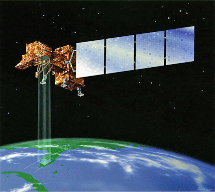
Artistic rendition of the Landsat 7 satellite.
Vicarious calibration teams detected a bias error of 0.036 watts per square meter steradian micron (W/(m2 sr µm)) that causes overestimation of top-of-atmosphere temperatures by approximately 0.26 Kelvin (K) at 300K. Calibration parameters within the Calibration Parameter File (CPF) have been adjusted to correct for this bias error.
All data processed by USGS/EROS from October 1, 2013 forward will be correctly calibrated within 0.4K at 300K using updated CPF coefficients. Users can correct for the bias error themselves by subtracting 0.036 W/(m2 sr µm) from the top-of-atmosphere radiance product for data products processed between January 1, 2010 and September 30, 2013.
The vicarious calibration teams, the Rochester Institute of Technology and the NASA/Jet Propulsion Laboratory, have been collecting field data coincident with the satellite overpass since the ETM+ launched in 1999. Early in the mission, an offset error of 0.31 W/(m2 sr µm) was detected [Barsi, 2003], and subsequently a correction was applied to the processing system in October 2000. Further updates were made in January 2010 [Schott, 2012] to correct a 5.8% gain error.
Continued calibration monitoring has revealed that the 2010 calibration update resulted in a small but statistically significant bias error of 0.036 W/(m2 sr µm). The most recent October 2013 update corrects this error by adjusting the shutter view coefficient in the Calibration Parameter File (CPF).
The CPF biases were also adjusted for non-default processing conditions, but for most users, the view coefficient is the only parameter that will affect the product. Users should note that with the current distribution system, the downloadable product may not have been processed with the latest CPF. Please check the “Product Creation Time” in the metadata file (MTL) that comes with the downloaded product to ensure that the product is processed after October 1, 2013.
Users can correct their own data by subtracting 0.036 W/(m2 sr µm) from the top-of-atmosphere radiance product for data products processed between Jan 1, 2010 and Sept 30, 2013.

