

A webinar that will assist in learning more about imagery is available at the end of this month.
Get More From Imagery Webinar Series
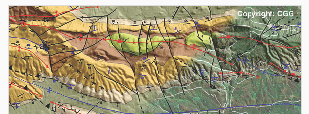
Digital Elevation Models and Operational Mining Applications
PCI Geomatics and CGG’s NPA Satellite Mapping team will show how stereo satellite imagery can be used to create Digital Elevation Models (DEMs) for mining applications on June 29 at 10 am Et/ 2 pm (GMT).
NPA Satellite Mapping will discuss the operational use of DEMs in planning mine logistics in Mali as well as for other exploration applications.
What You'll Learn:
- Creating high quality DEMs with Geomatics
- Tips and tricks for editing DEMs, smoothing, setting constant elevations for water bodies
- Accuracy assessment of elevation models
- Geological mapping, section building from surface geology, fracture modelling, single structure scale / roses and stereograms