RapidEye has now imaged one billion square kilometers of the surface of the Earth since becomin commercially operational on February 4, 2009. All of the data collected over the last 14 months is available in the RapidEye Library, which contains multiple datasets including the newest images imaged just a few minutes or hours earlier.
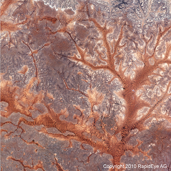
The library is continuously growing as new images are downloaded daily from RapidEye's satellite five EO satellite constellation. The newest coverage of the Somalian-Ethiopian border
was acquired by RapidEye 1 (Tachys) on April 7, 2010 at 8 A.M. UTC and made the collection of one billion square kilometers complete. One billion square
kilometers represents approximately seven times the Earth's landmass. The image of the Somalian-Ethiopian border is available for viewing on RapidEye's homepage at www.rapideye.de.