
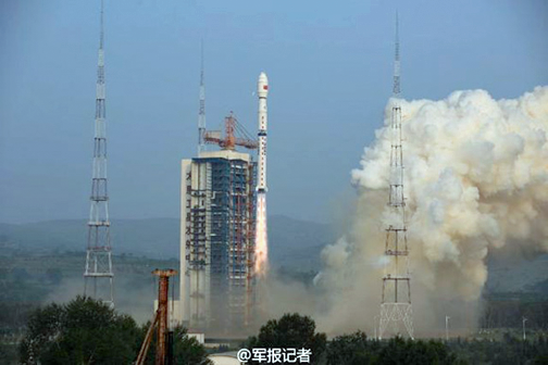
File photo of China's Gaofen-3 launch. (Photo: Xinhua)
On Wednesday, China launched a new high-resolution Synthetic Aperture Radar (SAR) imaging satellite—the Gaofen-3—from the Taiyuan Satellite Launch Center in northern Shanxi Province, according to a published report at the China.org.cn infosite.
The launch was empowered by a Long March 4C rocket at 6:55 a.m. Beijing time, according to the center. This was the 233rd flight mission consummated by a Long March carrier rocket. As China's first SAR imaging satellite—accurate to one meter in distance—the satellite covers the globe with an all-weather, 24-hour observation service and is reportedly to be used for disaster warning, weather forecasting, water resource assessments, and the protection of maritime rights.
With 12 imaging modes, the high-definition observation satellite is capable of taking wide pictures of Earth and photographing detailed scenarios of specific areas.
Gaofen-3 is also China's first low orbit remote sensing satellite that has a lifespan of eight years and is able to provide high-definition remote sensing data for users over long periods of time. Since the inception of the Gaofen project in 2013, China has had an increasingly clear view of the planet. The previous Gaofen launches—Goafen-1 in April of 2013, Gaofen-2 in August of 2014 and Gaofen-4 in late 2015—have added sophisticated imagery capabilities to users in China.
The Gaofen-3 and the Long March 4C rocket were developed by the China Academy of Space Technology and the Shanghai Academy of Spaceflight Technology, under guidance of the China Aerospace Science and Technology Corporation.