
All participating institutions were asked to provide satellite imagery of the affected area. The German Aerospace Center (Deutsches Zentrum für Luft- und Raumfahrt; DLR) is responding through its Center for Satellite Based Crisis Information (Zentrum für Satellitengestützte Kriseninformation; ZKI), based at its site in Oberpfaffenhofen. Destruction caused by Japan tsunami – before and after comparison zum Bild Destruction caused by Japan tsunami – before and after comparison
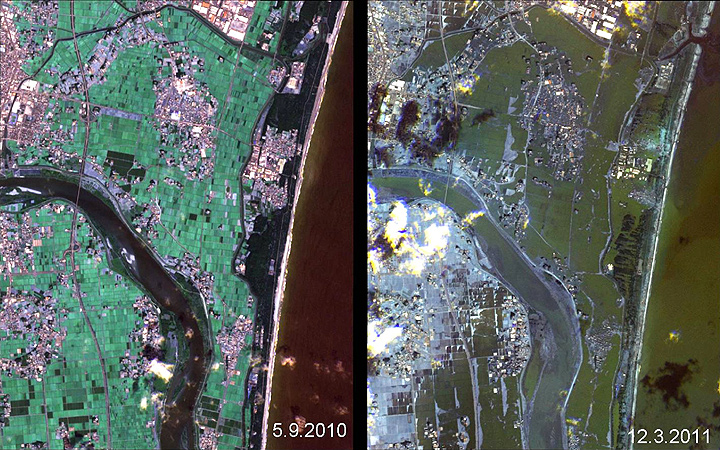
The effects of the tsunami are shown in a before and after comparison of the Japanese coast between 5 September 2010 (left) and the 12 March 2011 (right). Data: Rapid Eye. Credit: DLR/Rapid Eye
“The information acquired by the German TerraSAR-X radar satellite and the RapidEye imaging satellites, together with data from the American WorldView-2 satellite, show the extent of the disaster,” explains Stefan Voigt, a researcher at DLR. “The advantage of satellite data is the extensive coverage of the disaster area that it provides. At the same time, we can map details with a spatial resolution of down to 50 centimetres. In the maps we have compiled, it can be seen that the tsunami penetrated 4–5 kilometres inland. The severe damage to roads, bridges, buildings and other infrastructure can be clearly seen. This is important information for rescue workers on the ground. We are working closely with the German Federal Agency for Technical Relief (Bundesanstalt Technisches Hilfswerk; THW).”
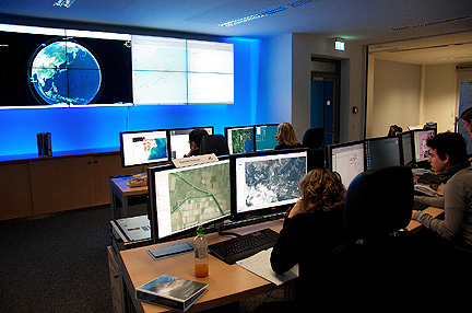
The German Aerospace Center (Deutsches Zentrum für Luft- und Raumfahrt; DLR) is responding through its Center for Satellite Based Crisis Information (Zentrum für Satellitengestützte Kriseninformation; ZKI), based at its site in Oberpfaffenhofen. Credit: DLR.