
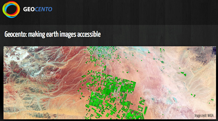
Their web-based service EarthImages will target the growing demand to have better and faster tools to search and access imagery from the wide range of Earth observation satellites.
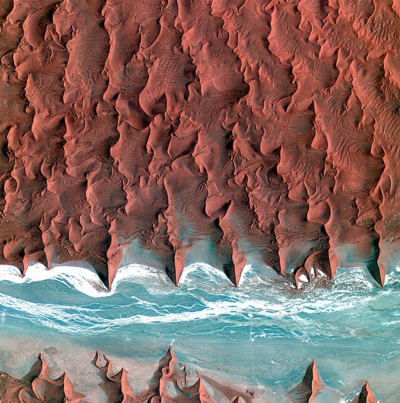
The highlight imageshows the sand seas of the Namib Desert on January 7, 2012.
Image courtesy of KARI/ESA.
“With many Earth imaging satellites already in orbit and the launch according to our estimates in the coming decade of over 250 new ones with an increasingly sophisticated range of instruments, it is not easy to find the best images with exactly the information needed for a specific case,” said GeoCento Managing Director Kim Partington.
With an idea to simplify this, Kim Partington and his two partners Thomas Lefort and Felipe-Martin Crespo founded GeoCento in 2011, each bringing different expertise to the challenge of effective satellite image planning and access.
“Earth observation has demonstrated great capabilities, but in order to fulfil its market potential, effective tools are needed to help users to search and select data from the growing sources and types available,” said Mr Partington. “EarthImages will provide this. Being a broker service, we are impartial, effectively acting on behalf of the users.”
Images from a number of satellites will be made available by the company, such as the one above from the Namib Desert's sand seas, taken by Korea’s Kompsat-2. EarthImages will be underpinned by multisatellite mission planning technology SaVoir, from Felipe Martin Crespo’s Italian company Taitus Software.
“With SaVoir we are able to model a range of civil satellites and sensors, in terms of geometrics and planning constraints, and present the results with very impressive graphics. EarthImages will provide the users with a very nice tool that they can use to access realistic image opportunities from multiple satellites, using the same modelling engine of SaVoir,” said Mr. Crespo.
SaVoir was developed originally for ESA to support the International Charter for Space and Major Disasters to provide an easy to use tool to quickly identify potential acquisition opportunities over any area of interest and with any civil satellite and sensor combination, thus speeding the efforts in data ordering for disaster relief.
“In addition to offering this capability over the web, the technology of SaVoir EarthImages will provide the ability to search in existing image databases according to customer requirements,” added Mr Lefort.
Supported by ESA Business Incubation Centre Harwell, the three entrepreneurs developed their idea and are now refining the design following initial beta testing.
“We already have in place much of the capability we want for our customers to search among a wide range of images from different satellite images to find what they need, and we are now talking to image suppliers, who realise the importance of these kinds of tools to their users,” said Mr Partington.
Through its Technology Transfer Programme, ESA has eight Business Incubation Centres in six countries to help start-up companies and entrepreneurs realise their ideas to use space technology and space-provided services to develop European businesses.
More than 200 new companies have already been launched, and another 75 are supported each year at the centers.