
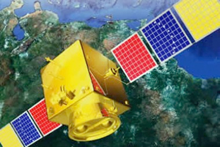
Artistic rendition of Venezuela's Miranda satellite.
The satellite enables a complete inventory of Venezuelan territory, with precise information on strategic sites, including security and defense sites, mining and oil infrastructure, agriculture, food, health and environment, said the minister. The Miranda satellite's permanent observation capacity can also be used to detect natural resources, plan industrial parks, expand urban centers, locate wetland areas and take preventive measures in case of natural disasters.
The satellite has completed 4,350 orbits around the earth and 900 turns around the country, and fulfilled 731 satellite missions. It captured 19,493 images with its four panchromatic cameras and 3,249 images with its multispectral camera, said the minister.
Venezuela's first satellite, Simon Bolivar, VENESAT-1, was also launched from China, on Oct. 28, 2008, at a cost of $180 million.