This fully automated system is built on GeomaticaX technology and constructed by the PCI Geomatics Professional Services team. The system automatically generates value-added products including ortho images, mosaic images, and pan-sharpened images derived from standard KOMPSAT-2 panchromatic (1-meter resolution) and multispectral (4-meter resolution) data. Image products include scales of 1:5000, 1:10,000 and 1:25,000 for both pan-sharpened and non-pan-sharpened imagery. Products are clipped based on the Korean national map index and the system can be operated by KARI staff using a simple graphical user interface. Established in 1989, KARI is devoted to its role as the leading aerospace research and development institute in Korea. KOMPSAT-2 was launched on July 28th 2006. KARI is now developing KOMPSAT-3 and KOMPSAT-5 in an effort to expand Korea’s national space development program.
Satnews Daily
November 21st, 2008
Image Is Everything For KARI + PCI Geomatics
PCI Geomatics has completed their contract with the Korea Aerospace Research Institute (KARI) to build an automated production system for the orthorectification, mosaicking and pansharpening of KOMPSAT-2 satellite imagery.
This fully automated system is built on GeomaticaX technology and constructed by the PCI Geomatics Professional Services team. The system automatically generates value-added products including ortho images, mosaic images, and pan-sharpened images derived from standard KOMPSAT-2 panchromatic (1-meter resolution) and multispectral (4-meter resolution) data. Image products include scales of 1:5000, 1:10,000 and 1:25,000 for both pan-sharpened and non-pan-sharpened imagery. Products are clipped based on the Korean national map index and the system can be operated by KARI staff using a simple graphical user interface. Established in 1989, KARI is devoted to its role as the leading aerospace research and development institute in Korea. KOMPSAT-2 was launched on July 28th 2006. KARI is now developing KOMPSAT-3 and KOMPSAT-5 in an effort to expand Korea’s national space development program.
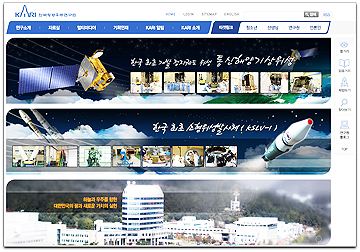
Select this image for additional KARI information...

This fully automated system is built on GeomaticaX technology and constructed by the PCI Geomatics Professional Services team. The system automatically generates value-added products including ortho images, mosaic images, and pan-sharpened images derived from standard KOMPSAT-2 panchromatic (1-meter resolution) and multispectral (4-meter resolution) data. Image products include scales of 1:5000, 1:10,000 and 1:25,000 for both pan-sharpened and non-pan-sharpened imagery. Products are clipped based on the Korean national map index and the system can be operated by KARI staff using a simple graphical user interface. Established in 1989, KARI is devoted to its role as the leading aerospace research and development institute in Korea. KOMPSAT-2 was launched on July 28th 2006. KARI is now developing KOMPSAT-3 and KOMPSAT-5 in an effort to expand Korea’s national space development program.

