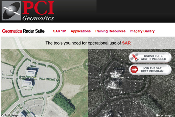
....Synthetic Aperture Radar (SAR) imagery using integrated workflows inside ArcGIS. The new SAR tools for ArcGIS include: Coherent Change Detection (CCD); classification of multi-polarized imagery; and advanced utilities to filter and analyze imagery. The tools support commercially available data from RADARSAT-2, TerraSAR-X, Envisat ASAR, AirSAR (JPLSAR), and PalSAR (Jaxa). As the tools are directly integrated in ArcGIS, application specific workflows can be created. PCI is developing such sample workflows together with users of SAR imagery in the global community. Those interested in learning more, or participating in this effort are invited to visit www.pcigeomatics.com/sar, where additional information on how to participate in the beta evaluation program is available. “The use of commercial Synthetic Aperture Radar (SAR) imagery is on the rise,” said Punarvasu (Vasu) Pillalamarri, Product Manager of Esri integrated software at PCI Geomatics. “PCI has integrated 40 SAR specific algorithms into its GeoImaging Tools, adding the SAR analysis functionality directly within ArcGIS – a beta version of the software is available to develop specific workflows and solutions.”