

The test program for Europe's next Copernicus satellite, the Sentinel-2B, has been successfully finished at ESA's technology Center ESTEC in Noordwijk, The Netherlands.
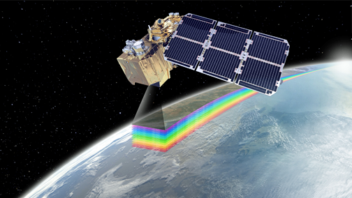
Artistic rendition of the Sentinel-2B satellite.
Image is courtesy of Airbus Defence and Space.
The second Sentinel-2 Airbus built satellite will now be readied for shipment to the Kourou spaceport in French Guiana in January of 2017. The satellite is scheduled for an early March 2017 lift-off via Vega. Copernicus, Europe’s environmental monitoring program, is led by the European Commission (EC) in partnership with the European Space Agency (ESA). The Copernicus Sentinels supply remote sensing data of the Earth, delivering key operational services related to environment and security.
Offering "color vision" for the Copernicus program, Sentinel-2B, like its twin satellite Sentinel-2A, will deliver optical images from the visible to short-wave infrared range of the electromagnetic spectrum. From an altitude of 786 kilometers, the 1.1 ton satellite will deliver images in 13 spectral bands with a resolution of 10, 20 or 60 meters and a uniquely large swath width of 290 km.
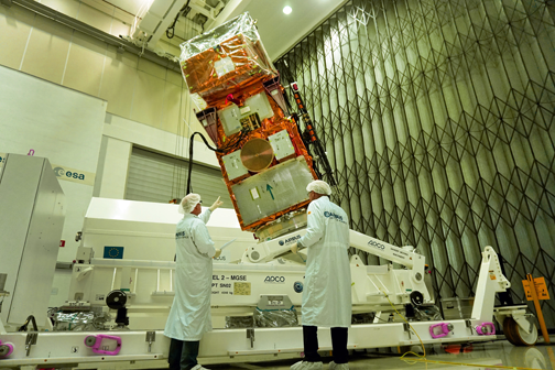
Sentinel-2B during the build process.
Photo is courtesy of Airbus Defence and Space.
The optical design of the Multi Spectral Instrument (MSI) has been optimized to achieve state-of-the-art imaging quality across its very wide field of view. With its multispectral imager and wide swath coverage, the Sentinel-2 mission not only offers continuity, but with its more than 100 km increase in swath width, also expands on previous missions.
The telescope structure and the mirrors are made of silicon carbide, which provides very high optical stability and minimizes thermo-elastic deformation, resulting in an excellent geometric image quality. This is unprecedented in this category of optical imagers. The data gathered are used for monitoring land use and changes, soil sealing, land management, agriculture, forestry, natural disasters (floods, forest fires, landslides, erosion) and to assist humanitarian aid missions. Environmental observation in coastal areas likewise forms part of these activities, as does glacier, ice and snow monitoring.
The Sentinel-2-mission is based on a constellation of two identical satellites, Sentinel-2A and Sentinel-2B, in the same orbit, 180 degrees apart for optimal coverage and data delivery. The satellites are orbiting the Earth every 100 minutes covering all Earth’s land surfaces, large islands, inland and coastal waters every five days. Sentinel-2A, which is identical in design, was launched on June 23, 2015. Since then, the satellite has been performing as expected. A total of 51,762 users have self-registered on the Sentinels Scientific Data Hub. About 168,000 products are available for download for a total volume of 433 TB. Overall, a total volume of 1.9 Petabytes has been downloaded by user communities.
The Sentinel-2 mission has been made possible thanks to the close collaboration between ESA, the European Commission, industry, service providers and data users. The mission's development has involved around 60 companies, led by Airbus Defence and Space in Germany for the satellites and Airbus Defence and Space in France for the multispectral instruments, while Airbus Defence and Space in Spain is responsible for the mechanical satellite structure.