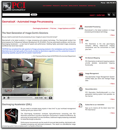
PCI Geomatics has signed a significant six-figure contract with MacDonald, Dettwiler and Associates Ltd. (MDA) to develop and deploy an enterprise level image management system to support the processing of RADARSAT-2 satellite imagery for an international customer. PCI Geomatics offers image processing and analysis solutions through its GeomaticaX technology, an extension of its desktop software converted to pluggable functions. It’s comprised of an extensive list of software functions used for building workflows which can be linked in unassisted processing chains to produce fully automated image and information products. The GeomaticaX product line encompasses the Professional Software Development Kit (ProSDK), ProLines automated workflows, and the GeoImaging Accelerator.