
[SatNews] Riding a wave of bone-chilling Arctic air, a powerful snowstorm rolled across much of the United States last week, canceling flights, snarling traffic, shutting down schools and the federal government for a day.
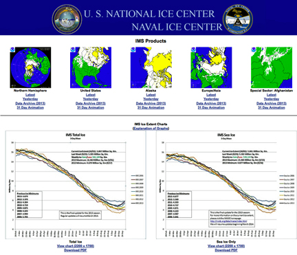
Behind the scenes, scientists at the National Ice Center (NIC) in Suitland, Maryland, were using the Interactive Multisensor Snow and Ice Mapping System (IMS), a high-tech snow and ice monitoring tool, which helped NOAA meteorologists correctly identify areas already snow covered and improve weather forecast modeling for the storm. The IMS products are translated into a computer-readable format, allowing computer models to do a far better job capturing the effects of snow and ice for immediate winter weather warnings, and longer-term impacts on the atmosphere. The products also help forecasters provide an expert human quality control evaluation to the computer model results.
“Having an accurate sense of how much snow is already on the ground, or how much ice is on the water, is important for producing an accurate snow forecast,” said Sean Helfrich, a meteorologist and head of the snow and ice product program at the NIC. For example, he said, “A snow-covered surface has different properties that insulate the ground and reflect sunlight back into the atmosphere, which significantly impacts the forecast.”
The IMS relies on data from 30 sources, including NOAA’s geostationary and polar-orbiting satellites, to accurately chart snow and ice across the continental United States. And new satellite sources, like those onboard the Suomi NPP spacecraft, will allow the IMS to even further refine snow mapping down to one kilometer resolution and provide four kilometer snow depth analysis over the entire Northern Hemisphere. “These products will further enhance NOAA’s model guidance for weather and hydrological prediction,” Helfrich added.
Helfrich said the need to map snow even under cloudy conditions means other satellite, snow models and surface observations from around the world are important to accurate mapping. “We’ll use satellite data from NASA, the Defense Department and our partners, European Organisation for the Exploitation of Meteorological Satellites, Canada, Japan and India. It’s these partnerships that allow IMS to have such accuracy and global coverage.”
Since 2007, the NIC, a tri-agency effort among NOAA, the U.S. Navy and U.S. Coast Guard, has used the IMS for daily snow and ice mapping. Overtime, the NIC has increased the accuracy of IMS by allowing more analyst production time and increasing the focus on ice charting.
The NIC staff works continuously monitoring snow and ice conditions, while seeking ways to mesh new data, technology and methodology into the IMS. Beside NOAA’s National Weather Service, other key users of IMS data range from navigators to law enforcement and national security. “We’ll never stop looking for ways to improve this product,” Helfrich said.