
...statewide Precision Aerial imagery that exceeds the requirements of the Massachusetts state Geographic Information System (MassGIS) Department. In order to improve response time and preparedness for natural disasters and to enhance information about state geography, the Massachusetts Department of Transportation and the Massachusetts Emergency Management Agency will use DigitalGlobe's Precision Aerial imagery to create superior baseline maps at a lower cost and higher resolution.
DigitalGlobe's Precision Aerial product offers complete leaf-off coverage, meaning that before the spring leaves arrive, the imagery displays a clear view of buildings, new developments and transportation routes. This off-the-shelf product delivers the most recent imagery with a faster turnaround rate and delivery. These features make procurement easier within the state, speeding the procurement process and lowering the overall cost.
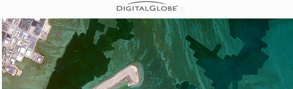
The Precision Aerial product has a 30cm resolution and 60cm color infrared aerial mosaics with seamless coverage in the U.S. and Western Europe. Complete coverage of the U.S. will be mapped by June 2012, with additional refreshed coverage over the next few years. It integrates directly into any GIS workflow to provide application-ready imagery with high-resolution and best-in-class accuracy levels. With current, relevant, and broad coverage, Precision Aerial imagery becomes the one-stop-shop for any government agency or enterprise looking to tackle tough issues, from land use and zoning, to transportation and the environment.