
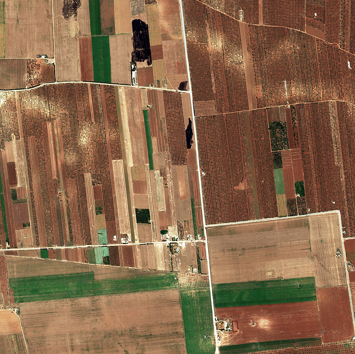
...burned fields and military vehicles in the area. Burned fields are visible towards the top of the image with evidence of tracked vehicles in the fields, military vehicles at the intersection in the center, and military vehicles in revetted areas along the bottom of the image. There have been reports by civilians of military personal purposely setting fields with wheat crops ablaze in the area. North is to the right in this image.
Providing a virtual presence is what DigitalGlobe does best, by rapidly delivering shareable, high-resolution imagery to provide up to date coverage of events on the ground.