
Thousands of Christchurch homeowners who have been waiting for a decision on the fate of their property can expect the Government to announce its verdict this month. NASA-developed technology is being used to assist the Earthquake Recovery Commission in determining where Cantabrians can and cannot rebuild.
Minister Gerry Brownlee, who heads the recovery commission, said the technology is vital in ensuring an accurate portal of damage done by the quake. "It's exceptionally important and we need to do it very thoroughly," Brownlee told ONE News. (One News is the news division of New Zealand television network TVNZ. The service is broadcast live from TVNZ Centre in Auckland.)
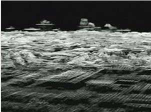
New Zealand Aerial Mapping can generate 3D images of Christchurch landscape using Light Detection and Ranging, or LIDAR, which was developed by NASA. LIDAR peppers the battered land surface with laser pulses, which are then used to produce the imagery.
The Commission can then compare the images produced with previous surveys conducted before the earthquake to see how the ground surface has changed following the quake. Early analysis of the Christchurch surveys indicate the Port Hills, south of the city, have risen. However down in the eastern suburbs, particularly in the southern part of the estuary, surface levels have dropped, in some cases as much as 30cm.
These changes have made certain areas susceptible to flooding, and temporary flood banks have already been necessary in some places.
"We want to make sure that areas of Christchurch that have suffered the most damage in the vertical movement of the ground are safe for future flood events," said Brownlee. The LIDAR scans will be combined with soil data and other risk factors to constitute a final assessment.
Brownlee told ONE News he expects to be able to inform property owners further later this month. "I've asked for that as quickly as possible. I would expect to get some initial, fairly good information that might allow us to make some determination by the end of this month."