More information can be overlaid using the various map layers, building greater context into the ship map and demonstrating how a combination of situational information and empirical satellite data can be combined to gain insight and knowledge about key maritime issues.
Each of these web-based map applications combines data delivered using standard information formats. Interoperability can often be a bottleneck, hampering the integration of disparate data sources, such as S-AIS, particularly in the geospatial world. By developing and using delivery methods that comply with the Open Geospatial Consortium (OGC), such barriers are removed.
Web-based delivery of S-AIS data enables it to be embedded within existing workflows. These Web Services support different types of filtering to allow for dynamic and ad-hoc customization of data based on geography, time, and AIS message attributes.
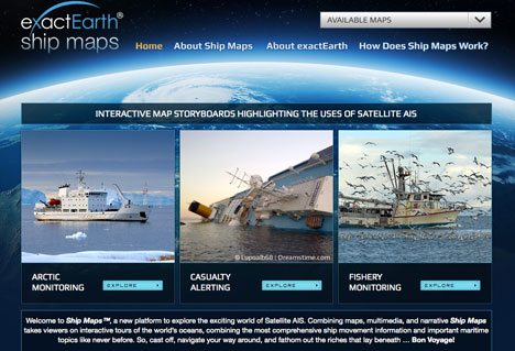
The customization and combination of data sources with simple narrative and multi-media delivers an interactive map-based platform to explore the exciting new world of S-AIS.
Topical Tags :
Regional Tags :