
Artistic rendition of the PAZ satellite.
...joint technology development project with the aim of establishing a constellation approach for the radar satellites TerraSAR-X and PAZ. The German satellite TerraSAR-X, launched in 2007, reliably delivers high-resolution radar data for versatile applications to worldwide customers. PAZ is the first Spanish radar satellite designed as a dual use (military and civilian) mission to meet operational requirements in the field of high resolution (up to 1 meter) observation. PAZ is scheduled for launch in 2013 into a polar orbit, which will be specifically optimised to improve the time to get images over key areas of interest when combining TerraSAR-X and PAZ into a constellation.

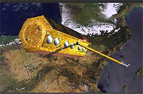
TerraSAR-X, artist's concept image.
- Defence and security: reduced lead times and a reliable, faster coverage of critical areas of interest and hot spots will facilitate improved support to operational missions worldwide
- Surface movement monitoring: engineering and mining companies will be able to efficiently monitor and manage their operations and reduce risks to workers on the ground
- Maritime surveillance: applications such as ship detection, oil pollution monitoring and sea ice observation will benefit from improved revisit times and increased data acquisition capabilities
- Humanitarian organisations and crisis intervention: faster and assured access to data over the affected areas supporting the efficient coordination and management of rescue and relief activities