
...in Darmstadt, Germany, on 15 November. The Council successfully concluded the approval process for the EUMETSAT Polar System Second Generation (EPS-SG) Preparatory Programme with all 26 Member States having now firmly committed themselves.
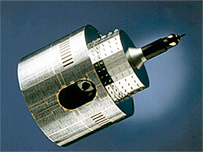
The Meteosat-7 satellite
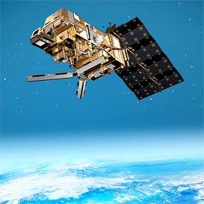
Artistic rendition of a Metop-SG satellite
Meteosat-7 provides image data—from its position at 57.5 degrees East over the Indian Ocean—that is used to monitor tropical cyclones and dust storms and to extract wind products used by global forecast models. In addition, the onboard Data Collection System, which collects and relays environmental data gathered from data collection platforms to users, is an important element of the Indian Ocean Tsunami Warning System.
The European Organisation for the Exploitation of Meteorological Satellites is an intergovernmental organisation based in Darmstadt, Germany, currently with 26 Member States (Austria, Belgium, Croatia, Czech Republic, Denmark, Finland, France, Germany, Greece, Hungary, Ireland, Italy, Latvia, Luxembourg, the Netherlands, Norway, Poland, Portugal, Romania, Slovakia, Slovenia, Spain, Sweden, Switzerland, Turkey and the United Kingdom) and five Cooperating States (Bulgaria, Estonia, Iceland, Lithuania, and Serbia). EUMETSAT operates the geostationary satellites Meteosat-8 and -9 over Europe and Africa, and Meteosat-7 over the Indian Ocean. The third Meteosat Second Generation satellite, MSG-3, was launched on July 5, 2012 and will be renamed Meteosat-10 after commissioning is complete.
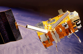
Artistic rendition of the recently launched Metop-B satellite, courtesy of Astrium
The Jason-2 ocean altimetry satellite, launched on June 20, 2008, added monitoring of sea state, ocean currents and sea level change to the missions EUMETSAT conducts. The data and products from EUMETSAT’s satellites are vital to weather forecasting and make a significant contribution to the monitoring of environment and the global climate.