
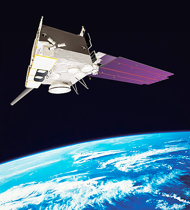
Artistic rendition of the GOES-15 satellite
“Providing timely access to environmental intelligence is critical to protecting lives, property and infrastructure,” said Rob Mitrevski, vice president, Intelligence, Surveillance and Reconnaissance programs at ITT Exelis Geospatial Systems. “The satellite instruments built by ITT Exelis continue to be an integral part of our nation’s weather forecast ability, enabling our country to see and solve some of the toughest environmental challenges.”
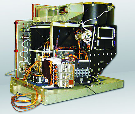
GOES satellites provide meteorologists with nearly continuous images as well as temperature and moisture data, enabling more accurate weather forecasts. GOES data is also used for climate-weather prediction models; ocean temperature; charting ice; snow and glacier mapping; land temperature measurement; and monitoring agricultural crop conditions. GOES-15 was launched March 4, 2010. After reaching geostationary orbit 22,300 miles above the U.S. and prior to being activated, the satellite underwent six months of extensive post-launch testing before being parked in on-orbit storage. Designed and built by ITT Exelis, the Advanced Baseline Imager (ABI) will monitor three times the number of atmospheric conditions currently measured and will produce images that can discern objects as small as one-half a kilometer. ABI is also much faster, updating data every 30 seconds versus the current rate of 7.5 minutes. At that speed, ABI can create a full-earth image in five minutes versus 30 minutes for the current imagers. ABI also will zoom in and track a single storm while simultaneously collecting continent-wide data and imagery. All these improvements add up to faster and more accurate forecasts, improved hazardous- weather tracking and increased capability to study and monitor climate change.
ITT Exelis has been designing and building space-borne meteorological instruments for nearly 50 years and is currently working with NOAA and NASA to build GOES-R.