
Imagery is courtesy of NOAA.
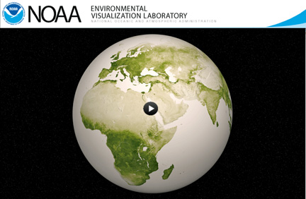
The resources at this NOAA website page spotlight our ever-changing planet, using highly detailed vegetation index data from the satellite, developed by scientists at NOAA. The darkest green areas are the lushest in vegetation, while the pale colors are sparse in vegetation cover either due to snow, drought, rock, or urban areas. Satellite data from April 2012 to April 2013 was used to generate these animations and images.