[SatNews] Mosaicking + orthorectification are just two of the support elements...
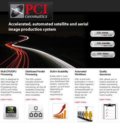
PCI Geomatics, a leading developer of geo-imaging software and systems, has been awarded a contract and has also successfully delivered a GeoImaging Accelerator (GXL) satellite processing system to RapidEye. The GXL system includes support for the automated orthorectification and mosaicking of the imagery collected by the RapidEye satellite constellation. PCI Geomatics has delivered a GXL-Satellite system that integrates locally procured off-the-shelf hardware with PCI’s GeoImaging Accelerator-Satellite high volume multi-CPU/GPU production software. The complete system will enable RapidEye to transform uncorrected imagery into seamless mosaics comprised of thousands of images – thereby automating the production chain. The GXL-Satellite system will boast throughput capability of up to 10 Terrabytes per day. The adoption of PCI’s GXL software by companies across the globe proves the viability of this technology for the company as it invests more heavily in its development. PCI Geomatics has delivered other GXL systems to numerous customers in North America, Europe and Asia.