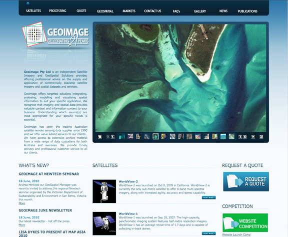
[SatNews] Geoimage has unveiled their new and improved website, which provides extensive information on Geoimage's products and services as well as information on the current commercial optical and radar satellites. Also, information as to how GIS and remote sensing assists industries such as mining and exploration, agriculture, environmental management and engineering, will be found at the new site.
The image galleries show the sample imagery at various resolutions, and the list of the most Frequently Asked Questions is designed to assist viewers gather the information they require quickly and easily. As satellite imagery is used by a range of industries in Australia and overseas, there is also a large amount of information explaining how spatial imagery and analysis can assist clients make their projects more cost-effective and efficient.
To celebrate the launch of the new Geoimage website, the company has devised a competition which allows viewers to have a bit of fun while they peruse the new pages. Details of the competition are available on the front page of the website and this will be running until July 31, 2010. The winner will receive a $250 gift voucher to the retail outlet of their choice. Geoimage’s new website can be viewed at http://www.geoimage.com.au.
Additionally, to support the growing demand for value added services and derived image products, Geoimage is pleased to announce that Alisa Eustace has been appointed as Senior GeoSpatial Analyst. Alisa comes the company from the Department of Environment and Resource Management’s Remote Sensing Center.