
The Disaster Monitoring Constellation is a unique international partnership formed by national governments and organisations that recognised the need for coordinated satellite imaging campaigns to assess and mitigate natural disasters with more up to date and timely information a decade ago. The five consortium members each own an independent satellite, but pool their resources to gather and distribute up to date images of disaster stricken areas anywhere in the world. By working together, the multi-satellite constellation provided the unique capability to acquire satellite images of anywhere on Earth at least once a day. This makes it possible to provide recent high quality images of the effected area within the critical days following a disaster, improving the accuracy of maps and emergency response plans that are made.
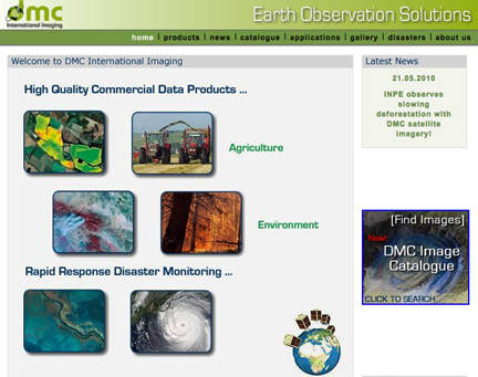
DMC International Imaging Ltd (DMCii) was established to coordinate disaster response and to distribute images. In partnership with the former British National Space Centre (BNSC) and the Constellation members, DMCii uses the commercial exploitation of the satellite images to fund coordination of the Constellation for humanitarian use during natural disasters. DMCii works with the world’s space agencies and the United Nations (UN) within the International Charter : Space and Major Disasters to provide multi-spectral optical imagery during natural disasters. The constellation responds to disasters frequently and has played an important role responding to disasters such as Hurricane Katrina (2005), Asian Tsunami (2004), UK floods (2007), and the Sichuan Earthquake (2008).
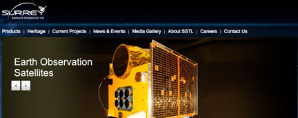
All of the Constellation satellites were designed and built by Surrey Satellite Technology Ltd (SSTL), the British space company that earned support from the BNSC to develop a highly cost effective new type of satellite that was smaller and much more economical to launch than contemporary designs. Building on the success of demonstration missions such as Tsinghua-1, SSTL built satellites that provided Consortium members with cost effective sovereign remote sensing capability with shared ground segment, image processing and distribution – and an essential role in international disaster response.
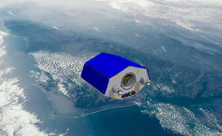
NigeriaSat-2, artistic rendition
This week in London the Consortium members will review several new technologies for monitoring the Earth to decide what future capabilities the Constellation requires. Recent technological developments at SSTL make it possible for a single satellite to image the Earth's landmass every day, or for a small and cost effective satellite to provide very high resolution sub-1m images of the Earth. Synthetic Aperture Radar (SAR) payloads that can image through clouds or smoke are also now being considered for future Constellation satellites.