 TerraMetrics, Inc., a developer of high-precision terrainrendering technologies and global satellite imagery for aviation, simulation, and geospatial markets, has announced that the company’s TruEarth 15-meter global satellite imagery is now available online through the MapMart.com website.
 The advanced web portal allows customers to browse satellite imagery, elevation data, aerial photography, street maps and other geospatial data products from various sources and preview selections before purchase.
MapMart, a division of
IntraSearch, Inc., will carry the full
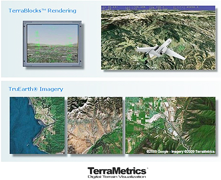
TruEarth 15-meter global satellite imagery product line, including
TruEarth Standard and
TruEarth Professional, two new imagery products in ECW and jpeg2000 formats that are tuned for applications requiring smaller dataset sizes. TruEarth imagery provides the bestavailable
global-coverage data at 15-meter resolution and is processed using proprietary techniques to achieve
its distinct natural-color balance.
Topical Tags :
Regional Tags :
