
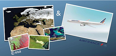
 Clouds can’t obstruct these views: the crystal waters of the Andaman Islands while en route to Singapore, the snaking Senegal River after taking off from Dakar and the rolling dunes of the Gobi Desert before landing in Beijing. Satellite photos of the landscape below the aircraft are now accessible by passengers on dozens of Air France flights thanks to a four-year partnership with ESA. ESA has recently provided Air France with over 1200 new images to incorporate into the in-flight Geovision program which displays captivating satellite views that link to the route on the onboard screens.
The scenes have been selected by ESA from various Earth observation satellites, including ESA’s Envisat and Proba, Korea’s Kompsat and France’s Spot. For eastbound destinations from Paris, 628 new images have been added such as the mouth of the Ganges River emptying into the Bay of Bengal and the 3,776m peak of Mount Fuji in Japan. Passengers on flights heading west can – for the first time – enjoy the show of 390 images including the Canary Islands and Canada’s shallow Foxe Basin. The route on southbound destinations can be followed thanks to 367 new images that cover landscapes such as the vast Sahara Desert and Mount Kenya.
The collaboration began in 2007 when initially 250 images where made available on flights operating between France and India, China, Japan and Singapore. Today, the show is accessible on over 67 flights covering Asia, North and South America, Africa and Oceania. ESA and Air France are looking into extending the service by generating complete destination coverage and, as a next step, adding visual flight animations to the Air France portal.