
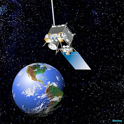
Artistic rendition of the GOES-13 satellite, courtesy of NOAA.
“Once again, NOAA has three, healthy geostationary satellites ready and able to track hurricanes, severe storms, floods and other dangerous weather conditions,” said Mary Kicza, assistant administrator for NOAA’s Satellite and Information Service.
On May 22, GOES-13, the GOES-East satellite, stopped producing imaging and sounding data. As an immediate, temporary measure, NOAA configured GOES-15, the West Coast satellite parked at 135 degrees longitude, to provide additional coverage of the eastern United States and part of the Atlantic Ocean. During the early hours of May 23, NOAA then activated GOES-14 from its orbital storage position at 105 degrees West to provide coverage of the East Coast, as engineers continued to analyze GOES-13.
“Our established back-up plan worked,” Kicza said. “NOAA forecasters continued receiving valuable satellite images and data necessary to issue life-saving warnings for tornadoes and floods.”
At all times, NOAA operates two GOES spacecraft—one in the East and the other in the West—both hovering 22,300 miles above the equator. NOAA always keeps an additional GOES in orbital storage mode ready to step in if one of the active satellites experiences trouble. NOAA manages the operational environmental satellite program and establishes requirements, provides all funding and distributes environmental satellite data for the United States. NASA's Goddard Space Flight Center in Greenbelt, Md., procures and manages the development and launch of the satellites for NOAA on a cost reimbursable basis.