
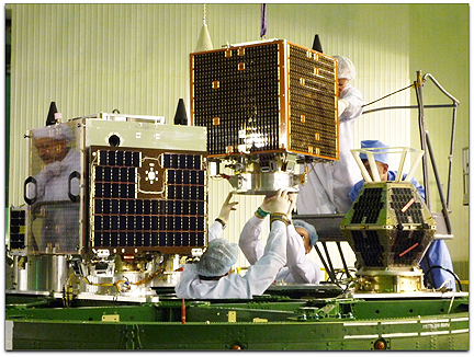
DMCii satellites — UK-DMC2 and Deimos-1 integration work
One of the biggest contributors to deforestation in Indonesia is forest clearing to make way for oil palm plantations. DMCii employs a constellation of five satellites that provide consecutive images of the forest as it changes. This imaging system has proved especially successful at gathering cloud-free and smoke-free images in tropical forests because the satellites have the ability for daily revisit, thus ensuring DMCii provide customers with a higer quality coverage. Indonesia has made an ambitious pledge to reduce greenhouse gas emissions by 41 per cent with the UK's support. Such targets may only be met and monitored by accurately and regularly monitoring forest cover in the region.
With its University of Leicester and WRI partners, DMCii is working to provide maps and statistics that are based upon irrefutable measurement of changes in forest cover in Indonesia. The high resolution and regular provision of new images also makes it possible to pinpoint areas of deforestation before it spreads. This up-to-date, accurate information can improve our understanding of the location, extent and causes of deforestation and help Indonesia to reverse deforestation as it builds its new low-carbon economy. DMCii has experience coordinating challenging satellite imaging campaigns over the rainforests of the Amazon Basin and the Congo Basin and temperate forests in Siberia, Scandinavia, Europe and North America.