
The image was acquired March 22nd, about a week after the disaster. If you look at the urban area, in shades of grey, the more uniform pattern indicates buildings that have been destroyed and the area is covered by debris. The roads are gone. Disaster response teams are using the data to monitor the extent of the tsunami and the conditions of buildings and road networks as they plan relief actions. Note, the airport runway is largely intact. That is critical as a path to supplies. The USGS continues to collect observations of the area and is making the data freely available. The next pass will be next Monday.
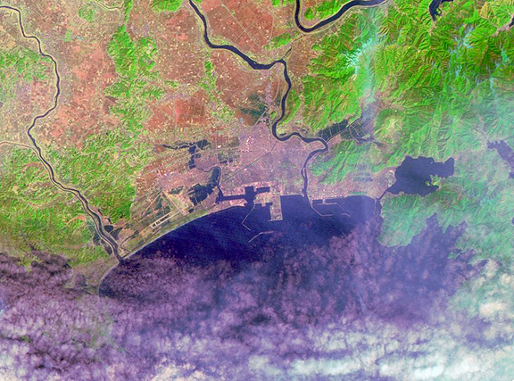
Image of Sendai, Japan, one week after the earthquake and tsunami. Courtesy of USGS (Landsat)