
[SatNews] Proteus, a provider of satellite-derived mapping and classification services, has delivered—ahead of schedule—the first phase of a fine-scale terrestrial and marine land use/land cover (LULC) and habitat mapping project for the Emirate of Abu Dhabi.
Contracted by Environment Agency—Abu Dhabi (EAD), Proteus completed Phase 1, or roughly one-third of the project, in just nine months delivering maps that exceeded accuracy specifications. The three-phase, multi-million dollar project will ultimately include 60,000 sq. km. of land area and the coastal marine environment down to the 15-meter contour. Advanced processing algorithms are being used to extract LULC and habitat features from high-resolution multispectral satellite imagery acquired over both land and sea. In the coastal Arabian Gulf, Proteus delivered seabed classifications to depths of 15-20 meters.
“At the request of EAD, we finished the satellite image processing and delivered the derived LULC and habitat maps a month ahead of schedule,” said David Critchley, Proteus CEO. “EAD has made an initial assessment of the map data and reported the classification accuracy has exceeded their project specifications.”
EAD is a government agency tasked with protecting, managing and conserving the environment, as well as promoting sustainable development, in the Emirate of Abu Dhabi. Maps created in this project will serve as the primary baseline ecological dataset supporting EAD’s environmental preservation activities for the next decade. Proteus, which maintains headquarters in the United Arab Emirates and United Kingdom, teamed on the project with DigitalGlobe Inc., Nautica Environmental Associates LLC, GMV, and EOMAP GmbH.
“The mapping provided during Phase 1 of the project has met our expectations, and we have already begun to use the delivered data in our day-to-day operations,” said Mr. Anil Kumar, Director, Environment Information Management, EAD.
Deliverables for each phase of the Abu Dhabi mapping project include bathymetric analysis, orthorectified mosaic, LULC/habitat ecological classifications, geospatial models, printed maps at multiple scales, and knowledge transfer.
“The precision of the habitat mapping project has fulfilled and exceeded EAD’s expectations. Towards the end of Phase 1, the Proteus team carried out a joint field visit with the biodiversity experts from EAD and confirmed the transitions between different habitats as being accurate,” said Richard Flemmings, Proteus Project Manager. “EAD are delighted with the detail that is being represented in the map and are already beginning to plan more focused studies as a result.”
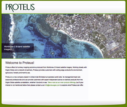
The Proteus infosite is accessible via http://www.proteusgeo.com/
Since 2011, Proteus has been delivering solutions for mapping and classification projects using multispectral satellite imagery. These mapping projects have been delivered for environmental, oil & gas, engineering and other coastal zone applications in Europe, USA, the Middle East and Caribbean.