
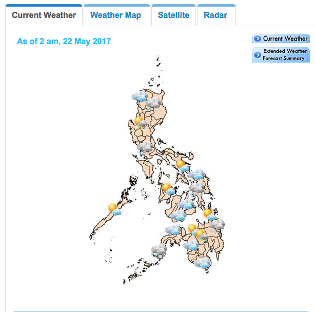
Weather map from PAGASA Philippine Atmospheric, Geophysical and Astronomical Services Administration
To further strengthen its weather forecasting capabilities, the Philippine Atmospheric, Geophysical and Astronomical Services Administration (Pagasa), in partnership with Korea International Cooperation Agency (Koica), inaugurated the new Communication, Ocean and Meteorological Satellite (COMS) Data Analysis System at the Pagasa Weather and Flood Forecasting Center in Quezon City.
The COMS is the first geostationary multipurpose satellite of South Korea, which was launched in 2010. The satellite is stationed at an altitude of 36,000 kilometers above the Earth’s equator and at a longitude of 128.2°E. It performs meteorological, ocean observations and communications services.
Conceptualized in 2008 through the Korean Government’s Technical Cooperation Program and endorsed by the Department of Science and Technology (DOST), the COMS Data Analysis System aims to strengthen Pagasa’s capacity to receive and analyze meteorological satellite data and, thereby, enhancing weather monitoring and improving its weather forecast accuracy.
The data from the COMS satellite can provide more frequent updates with a 15-minute interval.
To read more of this article go here.
From Business Mirror